RUN FOREST RUN

THE Hurricane Evacuation Race
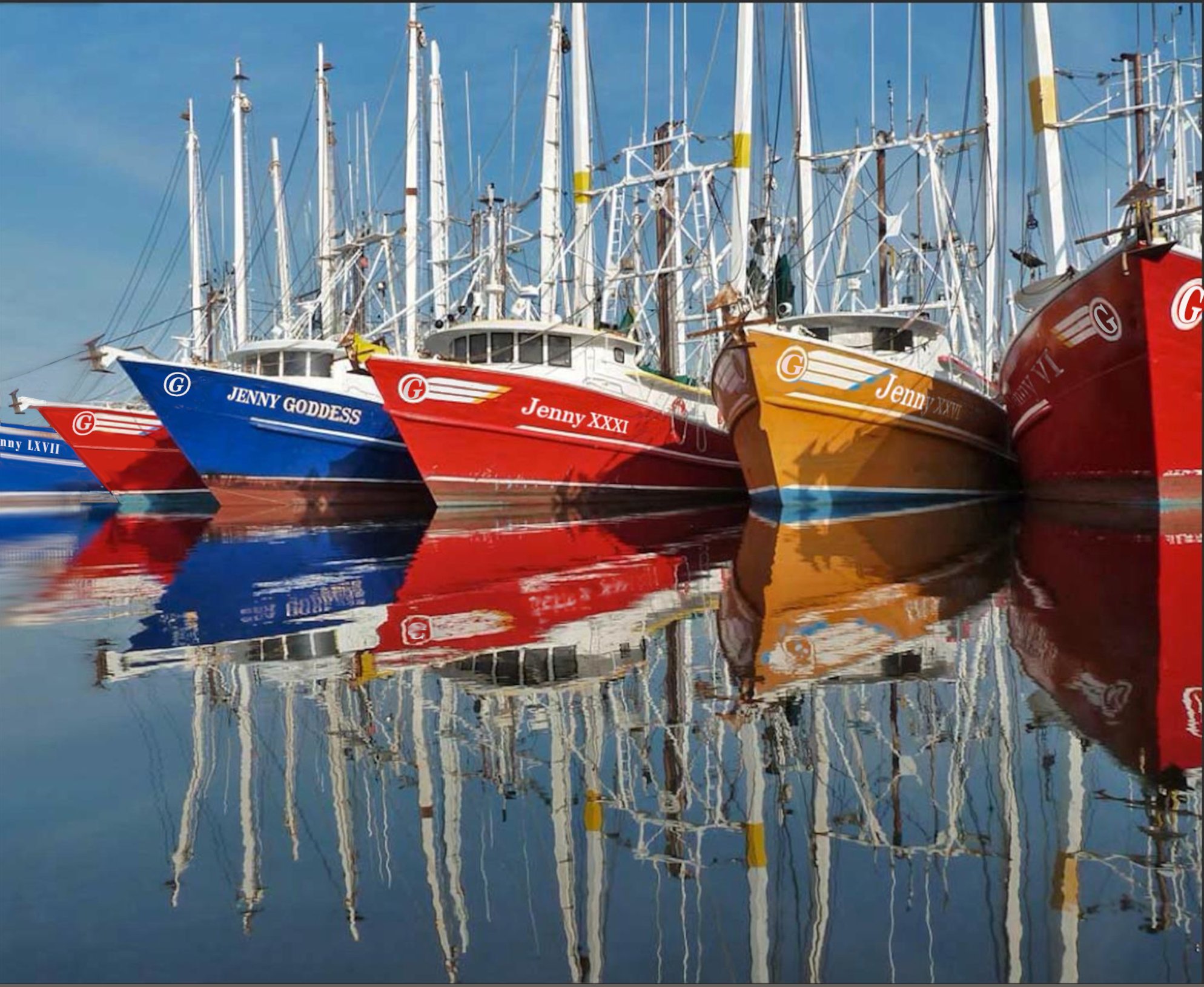
Image: The docks in Bayou La Batre
317 Miles, or less - Your Choice
BAYOU LA BATRE TO Tallapoosa River Overlook, Tallassee, AL
The Basics
Race Start Dates - September 20th - October 1st
Start Time - 7:00 AM
The Start Location - Bayou La Batre, Alabama
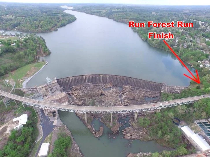
The Finish - Tallapoosa River overlook, Tallassee, Alabama
Distance - 320.2 Miles, Run Forst Run
Hurricane Evacuation Route West, Start: Mobile, AL - 312.7 Miles
Race Cutoff - 10 Days
Registration Option 1 - Race only
Registration Option 2 - Race + plus transportation to the start + lodging
Runner Support: NONE, NADA, ZERO, “NOT NO WHERE, NOT NO HOW!” Do I need to go on. This is a solo adventure. You may not receive any assistance or aid, in any form, or you will be disqualified. If you need outside help, you are finished. If you think you are dying, call 911. Get in a car, you are finished.
SPOT Trackers: All runners must carry a SPOT Tracker at all times during the run. We will provide the trackers. Tracker information will not be public. Only runners and race staff will have access.
Run Forest Run “Mini” - For those that do not want to run 320 miles, we have a short option. The RFR Mini! This race starts at mile 44.5 at Mo’s Landing. The total distance is a mere 272 miles.
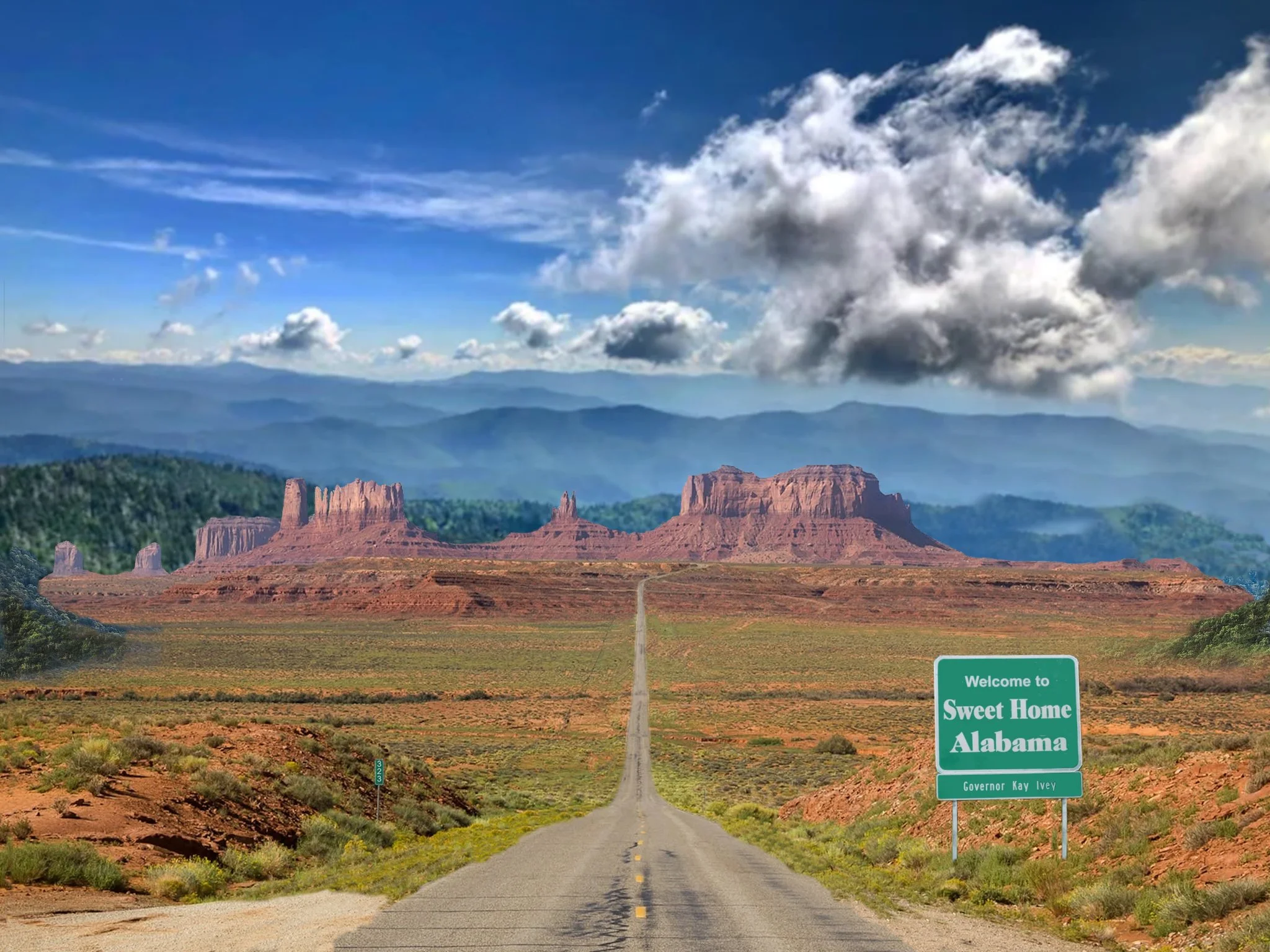
Arizona has “Monument Valley,” Alabama has “Pointy Rock Gap,” located in northeast Alabama near Greenboville, Forest’s home.
Unfortunately, Pointy Rock is just too far away to include in the Run Forest Run. That is, unless you would like to do the 717-mile version. We probably can arrange that.
Race Schedule
Sunday, September 19th
9:30 AM - Load buses at Tallassee City Hall to go to Mobile
11:30 AM - Lunch in route, Bates House of Turkey, Greenville
3:00 PM - Arrive at hotel in Mobile
5:30 PM - Pre-Race Briefing at Hotel
6:00 PM - Dinner at the Grand Mariner Restaurant on the Dog River
Monday, September 20th (The absolute peak of hurricane season)
6:00 AM - Pick up SPOT Trackers at the hotel lobby.
6:30 AM - Load shuttle to Bayou La Batre start
7:00 AM - Race Start
9:30 AM (or whenever we get to the start location) - Run Forest Run Mini Start
6:30 PM - Last Mobile Bay Ferry leaves Dauphin Island. Distance from start - 22.8 Miles.
Friday, September 31st
6:00 AM - The End
There are two possible courses:
1) The Standard Route - 317.04 Miles - (No Hurricanes headed for the Gulf Coast for the next 5 days:) The race starts in Bayou La Batre. Runners head south to Dauphin Island, crosses Mobile Bay on the Mobile Bay Ferry, then continue east along Mobile Bay to Gulf Shores. Continue straight ahead into and trough Gulf State Park. Leave the park heading east over the Perdido Pass Bridge, enter Florida, and continue along the gulf to Pensacola. Run past the Pensacola Naval Air Station heading into town. Turn southeast across the Pensacola Bay Bridge over to Pensacola Beach. Go left, east, along the beach, run through Gulf Islands National Seashore, and continue to the Navarre Beach. Cross the Navarre Bridge over to the mainland and turn east into Ft Walton. Angle northeast through Ft. Walton, past Egland Air Force Base, then through Niceville. Here, runners turn north heading to Florala, Alabama. From there they will continue north and northeast through Opp, Elba and Troy. In Troy, angle northeast to Union Springs, then northwest and north to the finish on the Tallapoosa River in Tallassee.
We also offer a shortened version of the “Standard Route” called the Run Forest Run “Mini,” 272 miles. This one starts at mile 45, in Mo’s Landing Park. Don’t worry, you still get to ride across the bay on the ferry.
2) The Hurricane Evacuation Route - 321.5 Miles - (Hurricane takes dead aim for Mobile, Pensacola or Destin/Ft Walton:) This course starts in the Starbucks Parking lot on Government Street in Mobile. There is a “Dollar Tree” in the same parking lot. Runners will head west a few blocks on Government Street then angle right on Old Government St. at the Cannon. Make your way over to Old Shell Rd and continue west through Langan Park. Leave the park heading north through Eight Mile, Saraland, Satsuma and “Creola!” (How many people can say they have actually been through “Creola?” After spending a little time taking in the sites, continue to Jackson, and Grove Hill. At Grove Hill, runners turn southeast, then east through Monroeville, Evergreen, and Andalusia, to Opp. Here runners join the “Standard Route” heading north to the finish.
Race Routes on Caltopo
Mile markers & store markers can be turned off and on in Caltopo maps. Check and uncheck the box at top of left column under “Map Objects” called “Markers!” If no column is visible on the left, look for arrow pointing right halfway down the page.
The Forest Grump “Standard Route”
The run will start in “Downtown” Bayou La Batre on Shell Belt Rd. Runners will follow this road south through the heart of the Bayou La Batre Shrimping Industry. It is interesting to say the least.
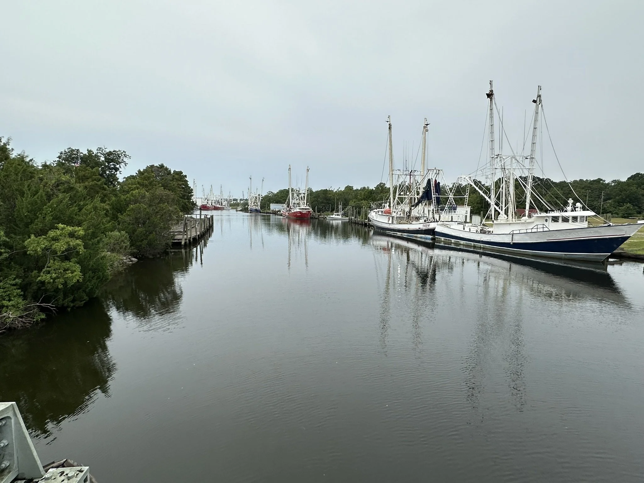
From the drawbridge in downtown Bayou La Batre.
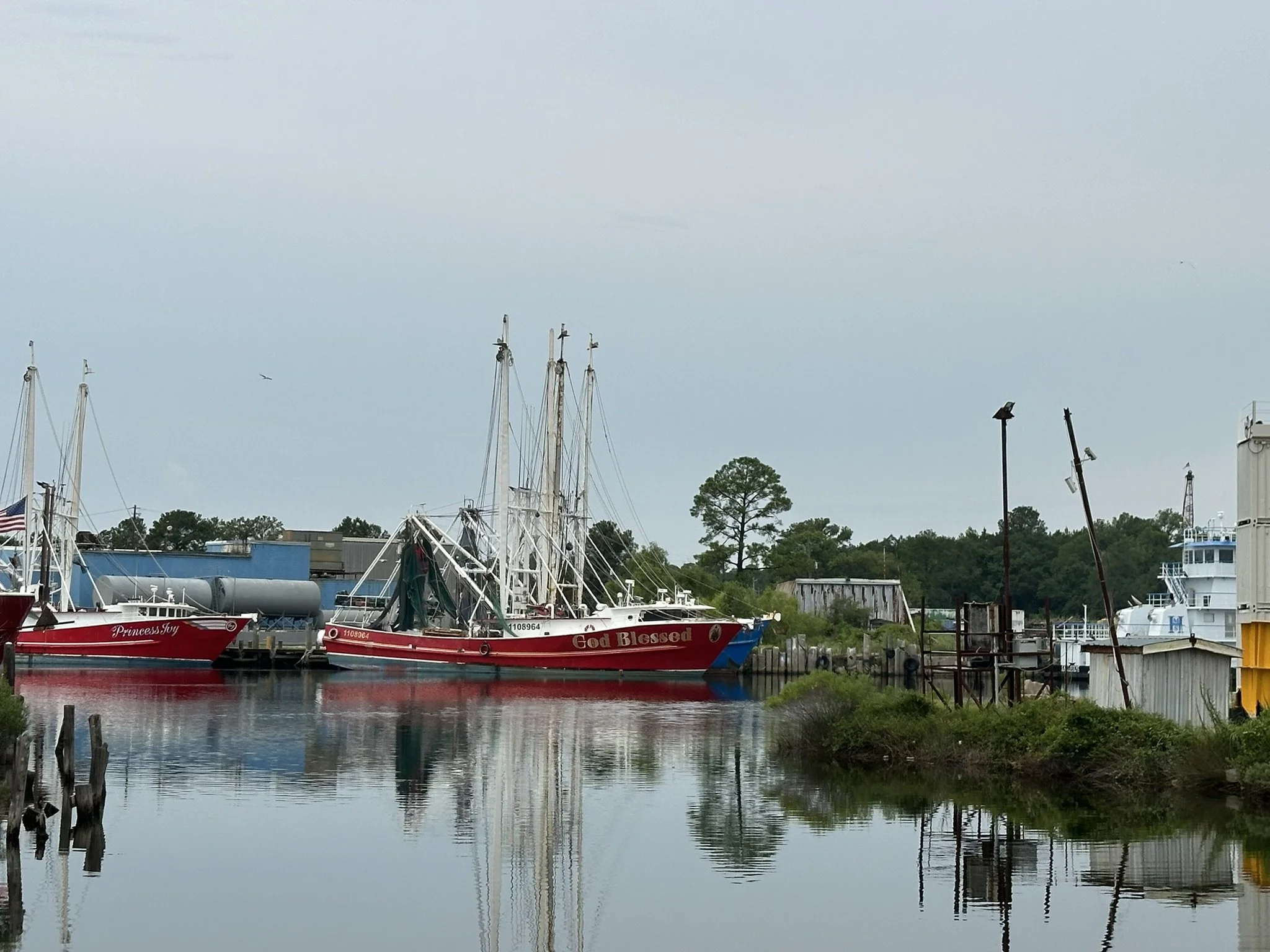
From Shell Belt Road, after start.
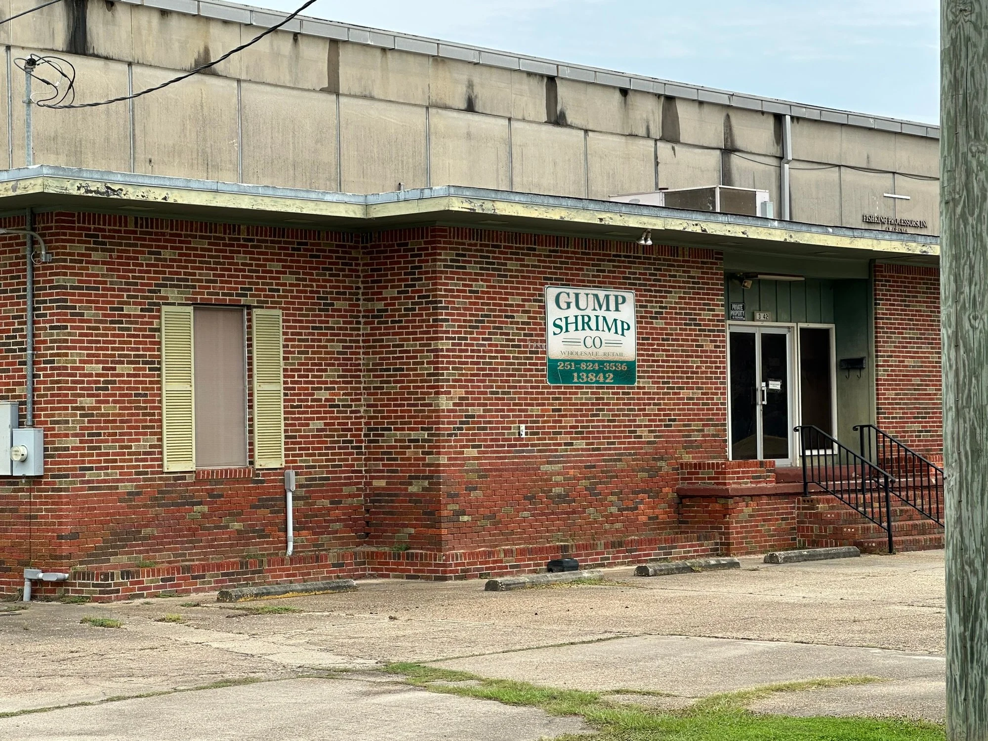
Don’t read the name on the building. It could blow my “Grump” cover story.
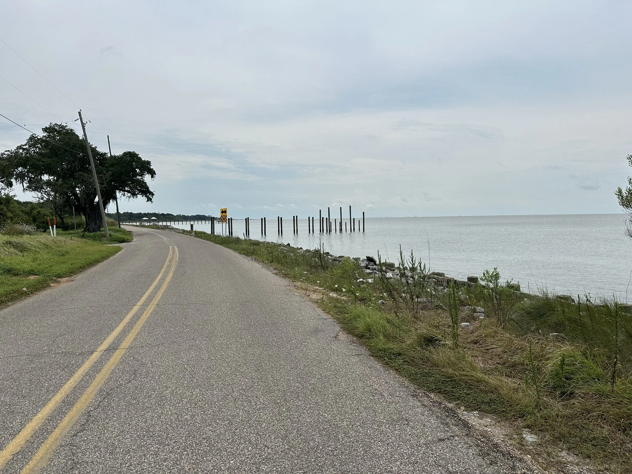
Along Shell Belt Rd, heading for the Dauphin Island Parkway. About mile 3
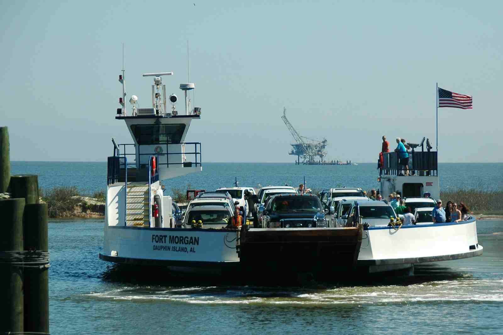
Runners will follow the Dauphin Island Parkway south, over the DI bridge out to Dauphin Island at mile 20. Once on the island, turn east for 3 miles to the Mobile Bay Ferry. Board the ferry for the 3.5-mile, 35-minute ride across the entrance to Mobile Bay, to Fort Morgan on the eastern shore. The pedestrian fee to ride the ferry is $6. You can pay with cash or credit card. Swimming the pass is not allowed. (Yes, Forest sometimes swam across, but not RFR runners.)
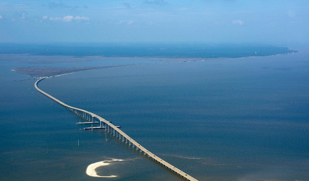
The 3.5-mile Dauphin Island Bridge.
The current bridge was built in 1982 after the original bridge was destroyed by Hurricane Frederic in 1979.
The Mobile Bay Ferry departs Dauphin Island at: 8:00 A.M., 9:30 A.M., 11:00 A.M., 12:30 P.M., 2:00 P.M., 3:30 P.M., 5:00 P.M., 6:30 P.M. Everyone should have plenty of time to cover the 23 miles from the start to the ferry before 6:30 PM. The trip across takes about 35 minutes.
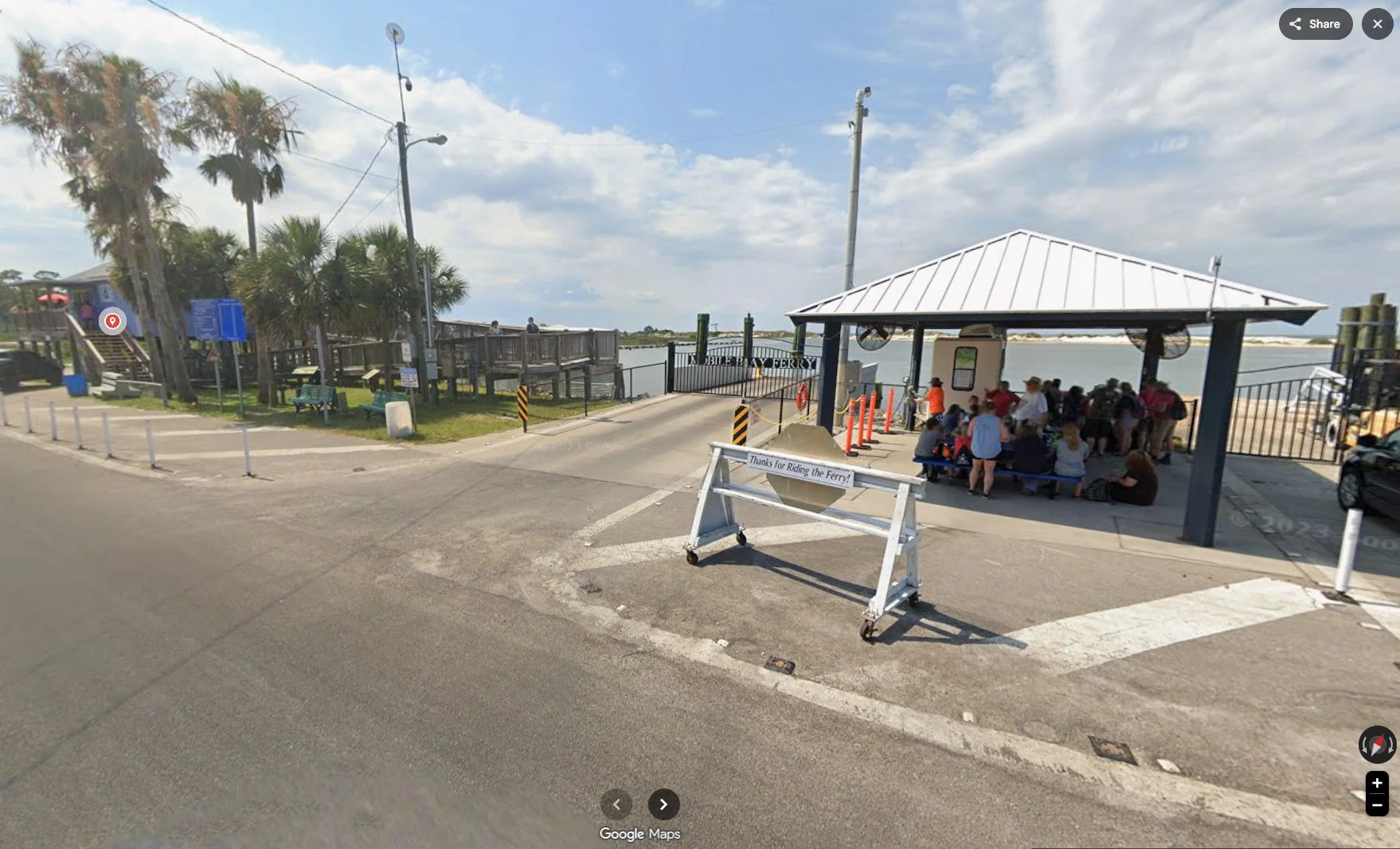
PLAN AHEAD! Once you leave Dauphin Island, there are no stores or supplies for the next 15 miles. The first store you will find after Ft. Morgan is a Dollar General at mile 35. If you need anything, stop at the stores as you come off the DIP bridge. There is a small “cafe” next to the ferry loading dock on DI that sells sandwiches, rollups and snacks, but no stores. At the Fr Morgan ferry landing there are porta-potties and coke machines. One of the two Ferrys does not have a bathroom. I am not sure about the other.
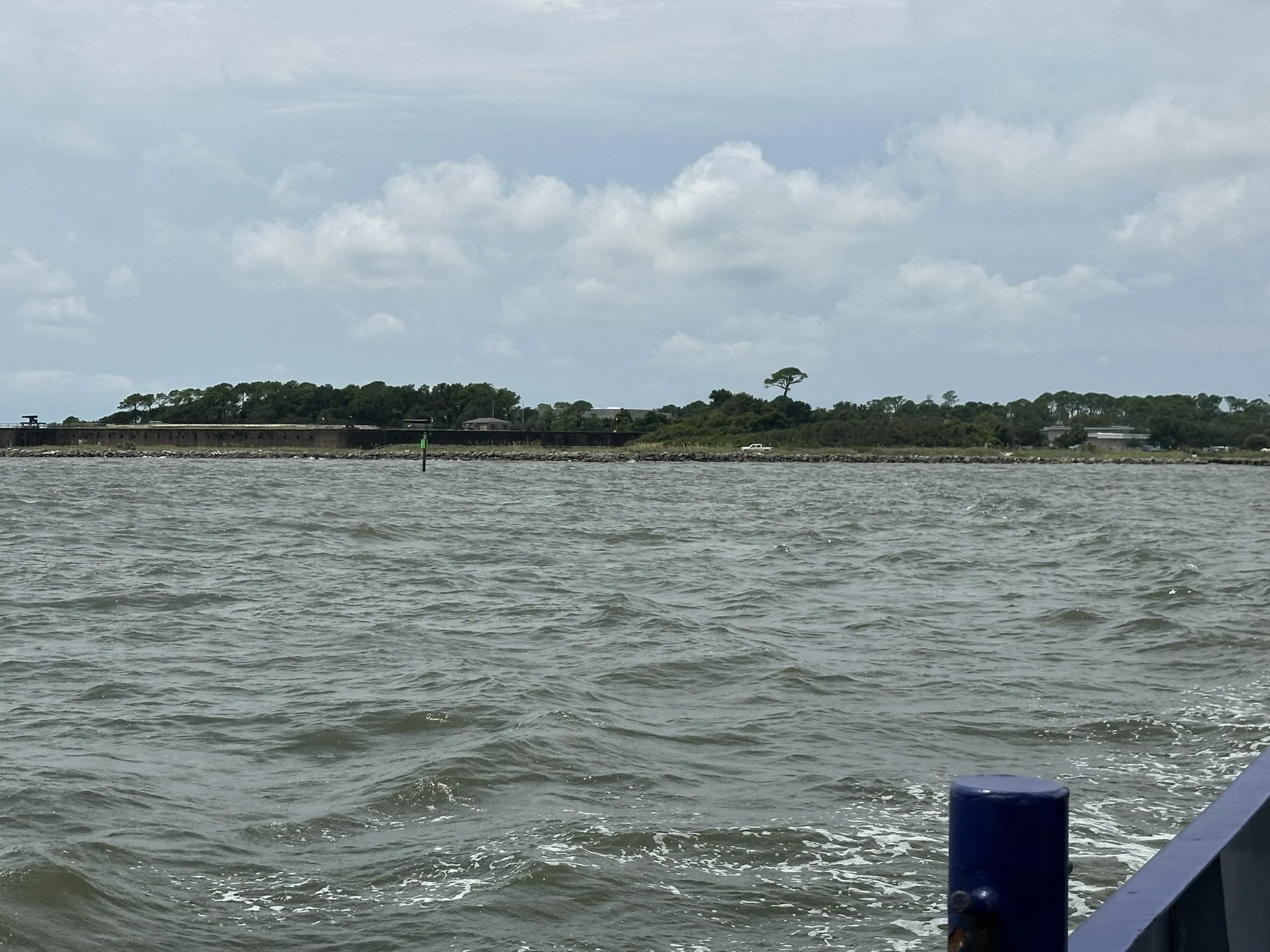
A little history: As you leave Dauphin Island, look back toward DI. You will see the large brown walls of Fort Gaines behind you. This, and Fort Morgan on the eastern shore, were Confederate Civil War forts. As you cross the bay, you will see several Gas Well Platforms in the bay and out in the gulf. The first exploratory well, Mobile Bay #76‑1, was drilled in the bay in 1978 to a total depth of 21,113. That’s about the width of the entrance to Mobile Bay. The double platform you will see to your left, sits over the original exploratory well site.
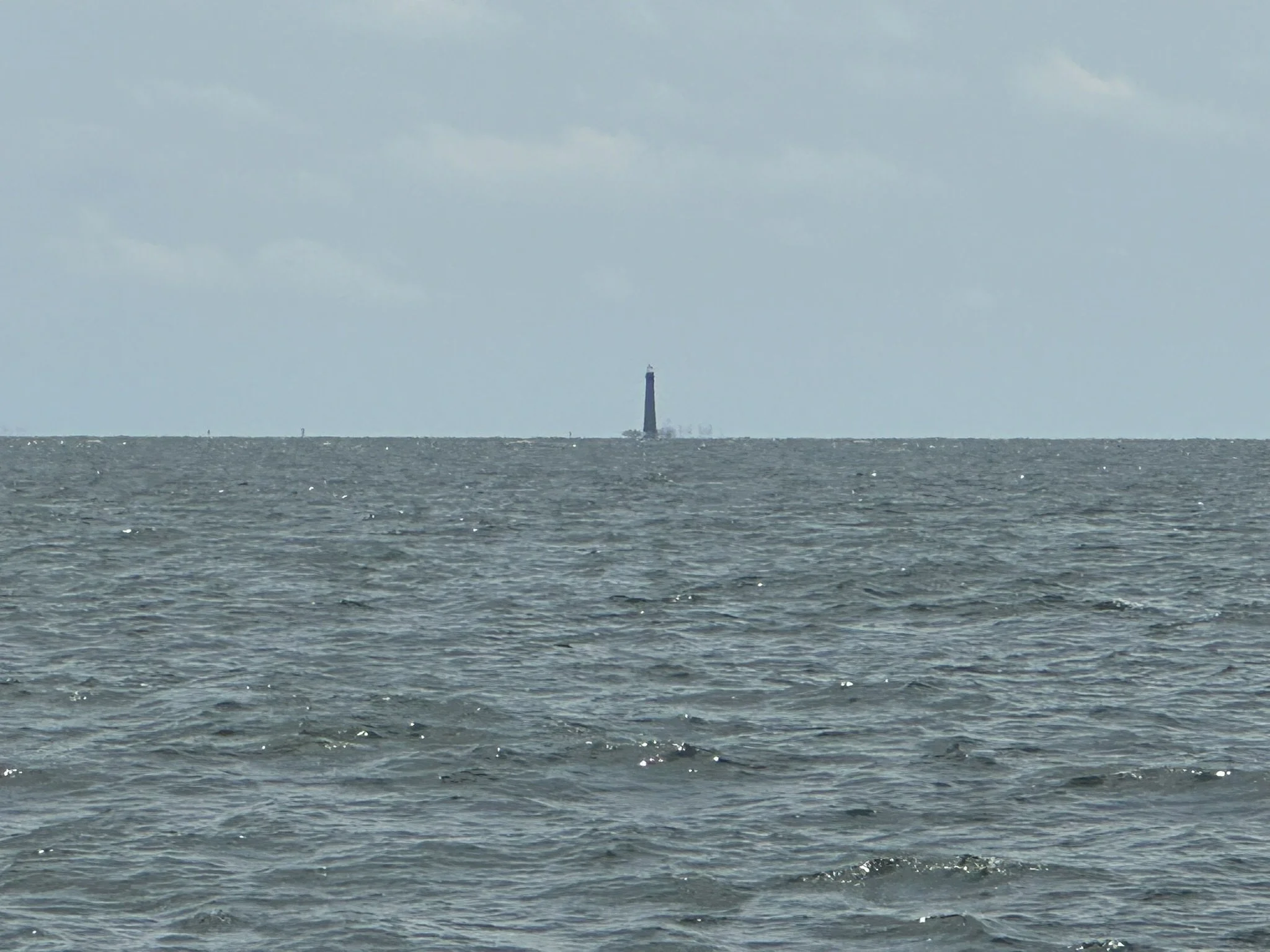
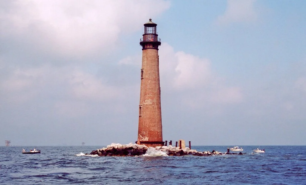
Also, look closely to your right, almost due south. You will see a tall, pointed tower about 3 miles out. This is the Sand Island Lighthouse.
Fort Gaines
View of Fort Gaines as the ferry leaves Dauphin Island.
When runners arrive at Fort Morgan, they will follow the Fr. Morgan Road for about 10 miles to “Ewing Place Rd” at Fr Morgan Pizza. Here, they will switch to the Fort Morgan Trail (on the left side of Ft Morgan Road) for the next 10 miles into Gulf Shores. Watch for the Dollar General on the right at mile 35. There is another DG and gas stations at mile 42.
When you reach Gulf Shores, the trail reaches the 6 lane “Gulf Shores Pkwy,” Hwy 59. Use caution crossing this very busy road. Cross with the lights, using the crosswalk. There are several stores and restaurants close to this intersection. You are about to enter Gulf State Park and there are no stores in the park. You will exit the park at mile 54.7 in Orange Beach.
Run Forest Run - From Gulf Shores
After crossing Hwy 59, continue on sidewalks and trails into Gulf State Park for the next 8 Miles. The entire section in the park is on paved trails and boardwalks. There are no stores in the park. Runners will follow trails along wetlands and tidal lakes. Two pairs of Bald Eagles inhabit the park, so keep an eye skyward. Also, keep an eye on the trail. You may come across an alligator. A short way past the Gulf State Park Hilton Hotel, along the boardwalks, you will pass an Osprey nest off to your left. If the birds are on the nest, you can see them from the trail.
The Sugar White beaches and trails of Gulf State Park
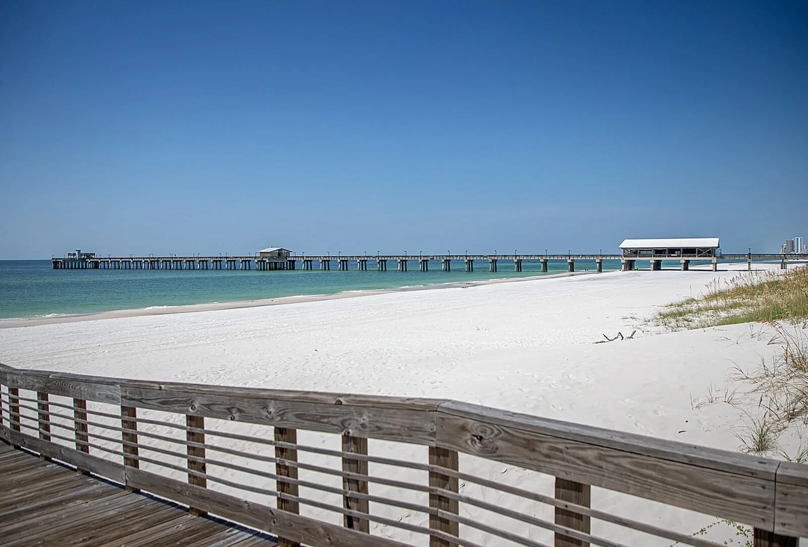
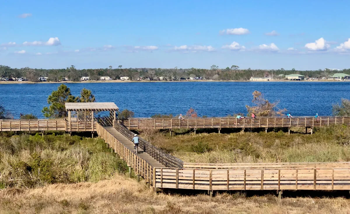
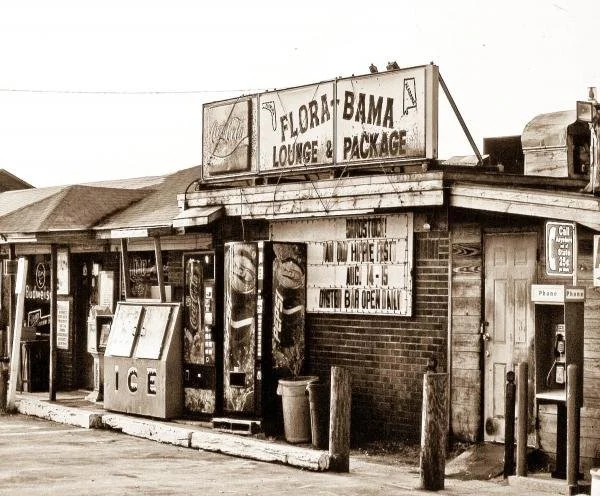
After leaving the park, runners will continue east along Perdido Beach Blvd for about a mile before going over Perdido Pass Bridge, pictured below. Two miles past the bridge, you cross into Florida. Just over the line, on your right, and left, you will see what may be the most famous landmark on the gulf coast, the Flora-Bama Lounge and Oyster Bar founded 1964. It’s open until 2:30 AM! I do not recommend staying that late.
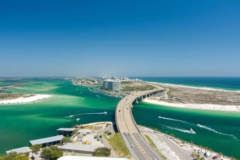
The Perdido Pass Bridge, Orange Beach
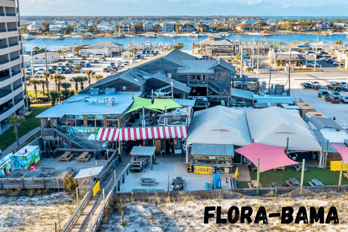
Past the Flora-Bama, runners will continue east along Perdido Key for the next 5 miles before moving to the “mainland” and into Pensacola. You will pass by the Pensacola Naval Air Station, Home of the Blue Angles. Watch the skies. When they are in Pensacola, the Blue Angles are frequently seen flying along the gulf coast. As of now, we will follow the Gulf Beach Parkway, just north of the base. We are going to try to get permission to cross the base on Redford Blvd.
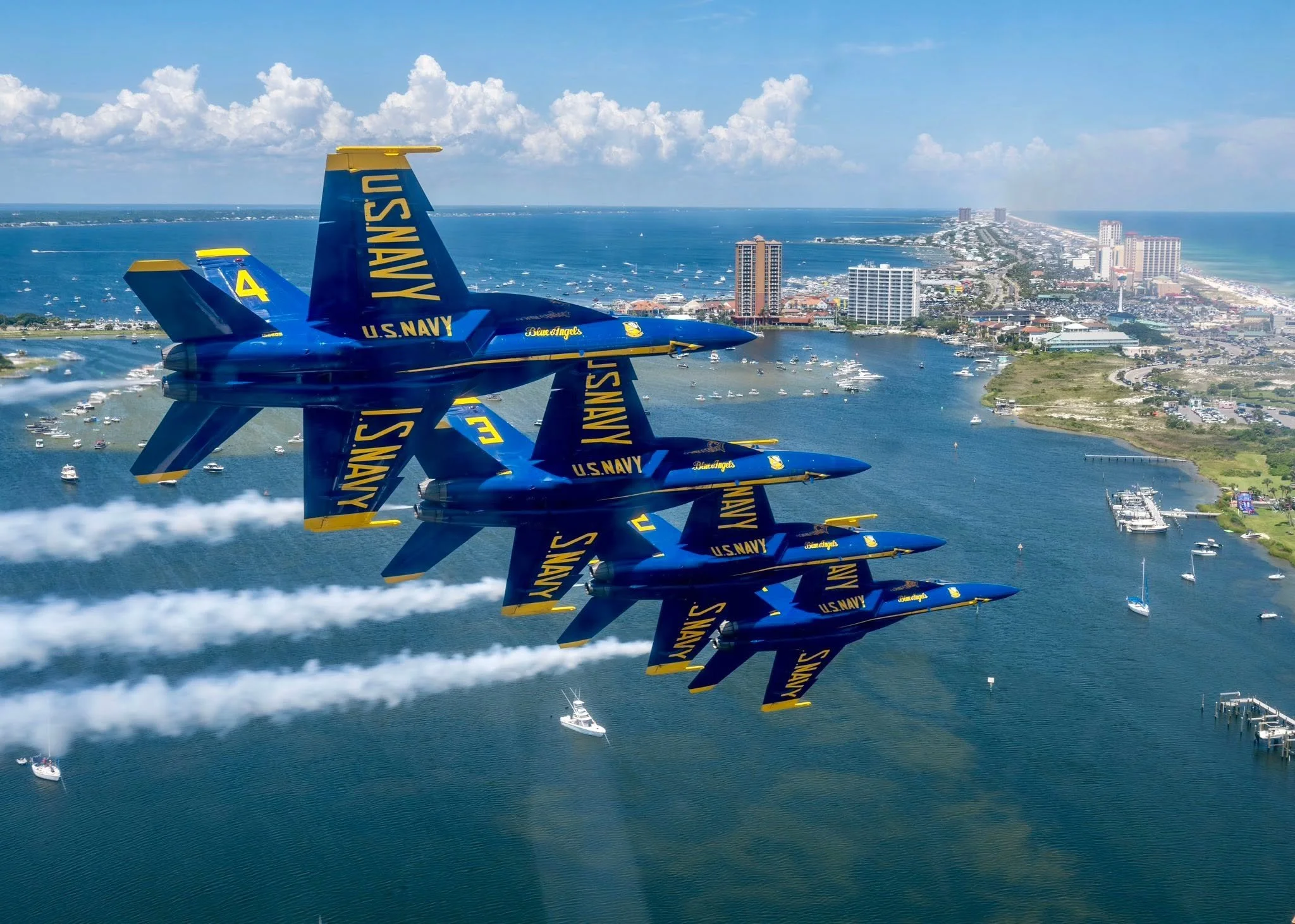
Blue Angles Pensacola Air Show
Past the naval air station runners will continue along Pensacola Bay, then turn south and cross the sound out to Pensacola Beach. Again, turn east along the beach. The only stores you will find for the next 17 miles are located just past this bridge. You will follow the beach east for the next 15 miles. About 10 of those miles are through the “Gulf Islands National Seashore” and again, there are no stores. Stay on the paved trail to the north of the road over most of the section. After the park, runners will continue 3.5 miles through Navarre Beach. The first store you reach will be at the turn to Navarre Bridge. Cross the bridge to the mainland and continue east into Fort Walton.
From town, you will head north and northeast passing through Shalamar where you enter Elgin Air Force Base at mile 129. BE SURE you do not miss the “required” excursion through the US Air Force Museum at mile 130.4. You will then continue northeast through Niceville before entering Egland Air Force Base for the second time at mile 139.8. You will be on the base for the next 15.7 miles, to mile 155.5 at I-10. Then head north all the way to the Florida/Alabama State Line at mile 177, just before reaching Florala. From there, it’s only 142 miles to the end.
Once in Alabama, the course continues north-northeast through Opp, Elba, and Troy. Past Troy you will turn east for a few miles then back northeast to Union Springs. (Be prepared for this section. From Troy to Union Springs is 45 miles.) There is a Dollar General 7 miles past Troy. The next store is at mile 271, nine miles before Union City. That’s not too bad, 18 miles, but the store at 271 closes at 7PM.
After Union Springs, the course angles north-northwest and north all the way to the finish on the Tallapoosa River at Tallassee.
It’s too bad we decided not to do this race. It would have been fun. What actually happened was, Governor Kay Ivey allowed businesses to start back up way before other states did. We were able to start having races again in May. There just wasn’t time to put this together after that.
Of course, it was a ridiculous idea from the start. No one in their right mind would run such a ridiculous race. Really! Running down backroads and busy highways, with absolutely NO support, day and night, CRAZY!
We dropped the idea “FOR EVER!”