The Course
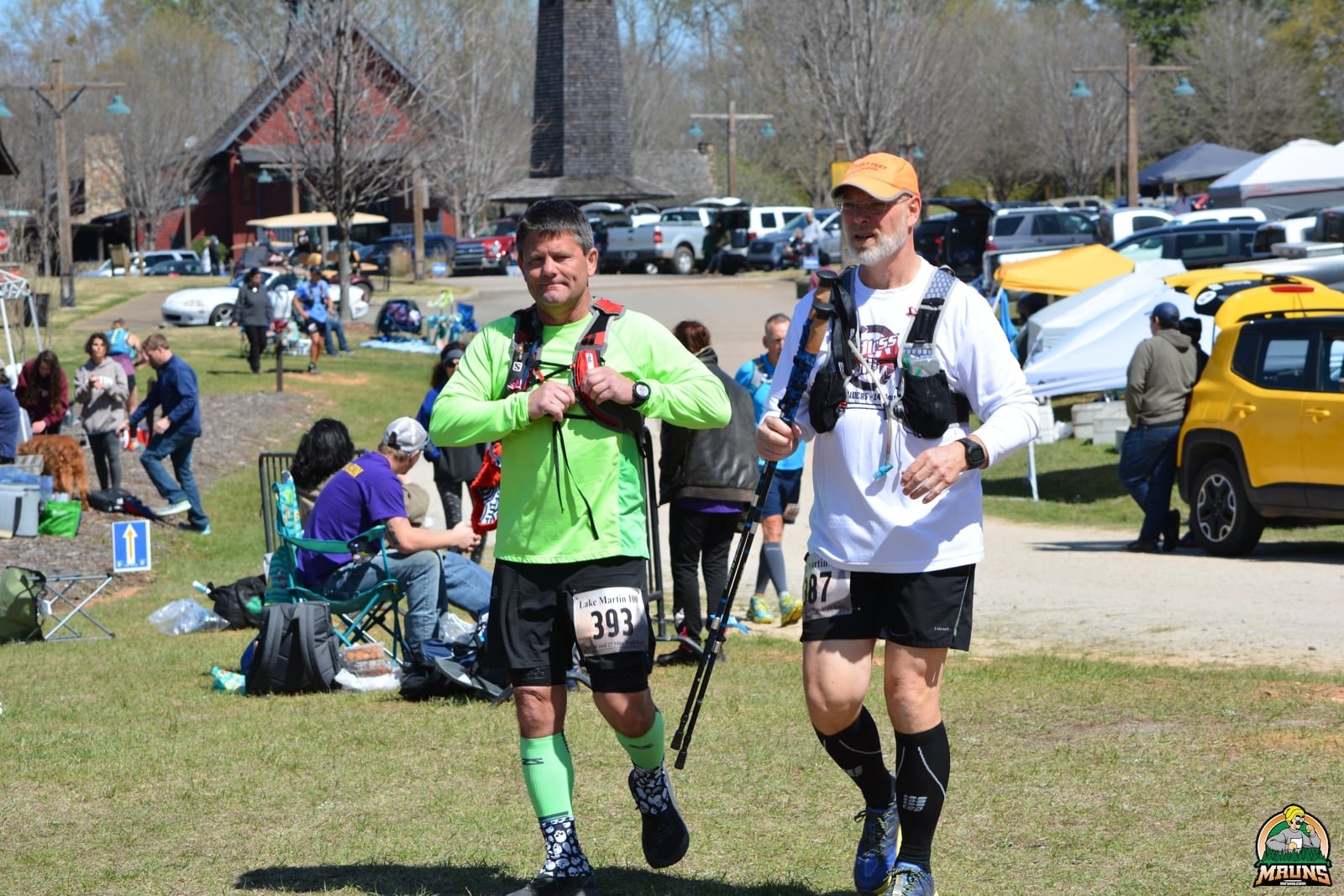
Lake Martin 50/50
About the Lake Martin Course
The Lake Martin 50 will consist of 2 laps on the 25.09 mile course. Each Loop is divided into a north loop and a south loop. The north loop is 18.6 miles and the south loop is 6.4 miles. Runners in all races will run the north loop first, return to the Cabin Aid Station and then run the south loop. Each 25 mile loop will have 4 aid station stops; first and second stops are at Heaven Hill Aid Station, third and fourth are at The Cabin Aid Station. The run will start on the gravel road in front of the Cabin. After about 100 yards, turn left onto the sidewalk for about 300 yards. At the end of the sidewalk, cross the paved road and enter the gravel road straight ahead. Go left at the “Y” down a long hill. Runners will be on a gravel road and carriage path for the first mile. Everyone will have plenty of time spread out before hitting the single-track trails. Runners will be on single track trails for virtually all of the next 10 miles until the Willow Point Cut-off trailhead with the exception of a 2/3 mile section on “Big Way.” Each of the 25 mile loops will have in excess of 3000 feet of elevation gain for a total of 6,000+ feet over the 50 miles. All the hills are very short, and most are gentle. There are a few fairly steep hills, but they are also short. The only long climb is just over 200 ft. and about one-half mile long. This is the climb up to Heaven Hill and the Heaven Hill Aid Station, about 8 miles after leaving the Cabin AS each lap.
There is nothing technical anywhere on the course by northeast Alabama standards. There are several rocky sections where the trail is littered with fist size chunks of white marble. And, there are roots everywhere on the single-track trials. The trails do require your attention, but you will have plenty of time to enjoy the beauty of the run. Sections of the trail follow the shores of Lake Martin while others follow small creeks draining into the lake. Be sure to keep an eye out for deer.
Non-Technical Defined: I describe the Lake Martin trails as non-technical. If you the regularly run ultras on single track trails in the southeast, you will agree the LM100 trails are non-technical. If you're a road runner or only run on trails groomed by machines, you may not agree. You simply have to pay attention where you step.
Here is a link to the: Lake Martin 100 Course on the Russell Forest Map.
Below is a simplified version of the 25 Mile Loop.
GPX File - Lake Martin Course The 25 mile loop
The Course details
Course Description: The following is a detailed, turn by turn, description of the Lake Martin 100 mile course. The description is of one 25 mile loop starting and ending at the Cabin. Most distances are approximate. I have only measured the north loop and the south loop as a single unit.
North Section – 18.6 Miles
Section 1 - Start to Heaven Hill - Aid Station 1 - 8.0 miles: Runners will leave the Cabin headed north along the paved road, turn left on the sidewalk until it ends. Cross the paved road and enter the Gravel Road straight ahead. Turn left at the “Y” going down the hill. Follow the gravel roadway as it bends to the left and flattens out. The road starts up a hill heading toward the Stables. Turn right before reaching the Stables and follow an old path along the corral to a carriage path angling left along a creek. Watch for signs directing you to the right, off the carriage path. Cross over the creek on a narrow foot bridge. You are now on the “Lakeview Trail.” Follow the trail for a little over a mile to the large sign for the “Big Way Trail.” At the sign, turn left straight up a short hill, cross the gravel cabin road, and enter the “2 Day Loop Trail.”
Stay on the 2-Day Trail for about 2 miles. As you descend a steep hill towards a creek with the lake to the left, watch for the "Dark Valley Loop Trail" to your right. (Do not cross the creek) Turn right onto the Dark Valley trail which climbs gently for about 1 1/4 mile to The Adamson Road Trailhead. Follow signs and flags directing you across the back end of the trailhead and back onto the Dark Valley Trail. Follow “Dark Valley” back down the hill to the intersection with the 2-Day Trail. NOTE: About 1/2 mile before reaching the Adamson Road Trailhead and about 1/2 after you start back down the other side of the Dark Valley Loop, you will come to the "Big Way" carriage path. This intersection can be a little confusing. The two sides of the Dark Valley Loop pass within 75 ft of each other where they cross Big Way. You will continue straight ahead across Big Way. There will be signs directing you straight ahead on both sides. Just follow the ARROWS. There will also be a “WRONG WAY” between the two trails.
This intersection where Dark Valley meets the 2-Day Trail is easy to miss. The Dark Valley trail follows a Creek for about a mile as you head back down toward the lake. As runners start down a short, steep hill, the lake comes into sight, Dark Valley ends and connects directly back into the 2-Day Loop Trail. Just past the intersection is a large sign. At this intersection, you will turn right and immediately cross the creek to your right and start up a steep hill. If you reach to the Lake, you missed the turn.
Continue up the hill away from the creek. You will stay on the 2-Day Loop Trail for one to one and a half miles. The trail will angle uphill away from the lake shore on a fairly steep trail, then traverse through a section that’s below some large rocks. As the trail descends away from the ridge, watch for the “Ridge Trail / Missionary’s Downfall” that turns sharply right up the hill. Turn right onto the Ridge Trail for about 2/3 mile until it intersects with "Big Way." Turn left on Big Way and head downhill for about 2/3 mile to “Heavenly Loop.” Heaven Loop is immediately before entering a large clearing known as Butterfly Crossing. Make a sharp right onto Heavenly and climbs up to the Heaven Hill Aid Station. This hill is the only thing that can be considered a climb on the entire course gaining just over 200 feet in about 1/2 mile.
At the top of the large, bald hill, continue straight across the hilltop following flagging to the aid station located on the far side of the hill. NOTE: The actual location of the aid station will be announced at the pre-race briefing Friday Night. If the weather is expected to be good or tolerable all weekend the Heaven Hill aid station will be located on top of the hill adjacent to the "Heavenly Loop" trail sign. If the weather is going to be bad, the aid station may be on the gravel road in the trees below the hill for safety. (Bad Defined: If there is an F5 tornado in sight and about to wipe out he aid station, BUTS will consider moving it!)
Section 2 – Heaven Hill Aid Station 1 to Heaven Hill Aid Station 2 - 5.6 Miles: Leave the Heaven Hill Aid Station and descend a little less than a mile on the north side of the Heavenly Hill Loop. At the bottom of the hill, cross a small bridge and go right at the bottom of the large grassy area on Big Way and cross over Horsley creek. This is Butterfly Crossing. As soon as you cross the creek, turn left on the Horsley Creek Loop Trail, and follow Horsley Creek about a mile to the lake. Continue along the lake for a short distance before the trail angles right and circles around through an area that was logged about 5 years ago, running on a logging road. This area is frequently muddy. The logging road turns left, and you will continue straight across a temporary trail to Upper Horsley Trail. This section is well marked with flags and signs. Turn left onto Upper Horsley and follow it for a little over one mile to the Willow Point Cutoff Trail Head. As you enter the west side of the trailhead you will see a gravel road coming into the trailhead on the opposite side. Angle straight across the trailhead and up that road following flagging and signs. Continue straight up the road for about 100 yards toward the Willow Point Cutoff Road (The Paved road.) Watch of cars along the gravel road. This is the entrance to the trailhead and there will be cars using it during the day and night. (This in one location crew and family will come to cheer on runners.)
Just before reaching the paved road runners will see several large rocks (Like 4 to 5 feet high) standing upright, marking the entrance to the Big Way Trail. Turn right, through the rocks, onto the Big Way. You are now heading back south toward the start. Follow Big Way about 10 yards and turn left on the Frontier Trail. Stay on the Frontier Trail about 1/2 mile. Continue on a short connector trail over to a gravel roadway. Go right on the gravel road which connects into Green Way. The Green Way roadway is reserved for electric vehicles, bicycles, horses and hikers, and of course, runners. Stay on Greenway Way over rolling hills for a little over 2 miles. After a long, fairly gentle climb, watch for the turnoff on your right leading to Heaven Hill. Turn right on the Heaven Hill road for about 200 or 300 yards to the Heaven Hill Aid Station 2. After HH2 runners make a “U” Turn and head back to Green Way.
Section 3 - Heavenly Hill 2 to the Cabin Aid Station 1 - 5.0 Miles: Leave Heaven Hill Aid Station 2 and follow the road back to Green Way and angle to the right, continuing along Green Way to the “Y” where Green Way enters Cyclone Hill Rd. Stay to your left and continue running along Cyclone Hill Rd. until you reach an iron gate. This is the end of Cyclone Hill Rd. Immediately past the gate, you will turn right and enter Adamson Rd. Follow Adamson Road, past the Adamson Road Trailhead which will be on your right. Continue straight ahead staying on Adamson Rd for 0.4 miles, to O. Z. Hall Road (the paved road.) This is the intersection called “Seven Points.” Cross the paved road and angle to the right into the open grassy area and enter the "Pony Express Trail." The Pony Express trail travels west toward the lake for about 1.5 miles.
Before the lake comes into view, the Pony Express Trail makes a left turn and crosses a creek. Immediately past the creek, Pony Express "T’s" into another trail. Turn left at the "T" and stay on the trail (It’s still Pony Express) for approximately one mile heading upstream along the creek in an easterly direction. The trail stays near the creek. Watch for the intersection of a trail to Beechtree Hollow. The Beechtree Hollow sign is about 50 ft. off to your right across the creek from the Pony Express Trail. It’s really easy to miss, but it will be well marked. At this point you leave "Pony Express" and enter the Long Leaf Loop trail heading up a hill and across another Paved Road to the intersection with Big Way West.
Turn right on Big Way for less than a mile to "Beechtree Hollow." At Beechtree Hollow, turn left again onto "Carriage Way." Stay on Carriage Way for about 200 yards and turn left on a trail through a growth of very large Long Leaf pines. Continue left along another carriage path to just before the Seven Points intersection. Follow the signs directing you to the right 20 or 30 yards past two other gravel roads and onto the Link Way road. The transition from the Green Way trail to Link Way almost makes a 170-deg. turn. It is now about 1 1/3 miles back to the start/finish and the Cabin aid station. Follow the gravel road past the Old Kowaliga Kilns and up the steep hill to the Paved Road through Russell Crossroads. You will see the SpringHouse Restaurant on your right and Catherine's Market off to your left. Continue straight ahead and cross the paved road, (Spring House Road) and angle left onto the sidewalk heading downhill along a large wall on the left. This is the way you started the race. Follow the sidewalk through the wooded area below Catherine’s. The sidewalk winds around and comes out on the road to the Cabin just about 100 yards from the Aid Station Location. This is the end of the 18.12 Mile North Section.
South Section – 6.4 Miles
Section 4 – The Cabin Aid Station 1 to The Cabin Aid Station 2 - 6.4 Miles: Aid Station 3 and 4 will be located in the large tend set up in front of the Cabin. We will also use The Cabin itself for part of the aid station. There will be a warm fire burning inside overnight if we get permission. It’s a great place to warm up and rest during the night. As you return from the North Loop, follow the signs back to the Cabin Aid Station. Be sure you pass under the arch before starting you South Loop. Cabin Drop Bags may be placed on the porch of the cabin or you are welcome to leave it in your car. Your crew may set up your personal aid station anywhere along the road leading to the Cabin or around the Cabin as long as the location does not interfere with other runners. You will enter through the north end of the tent and leave through the south end and head straight into the woods across Tucker Road. It’s a good idea to check the results monitor to be sure your lap was recorded.
When you cross Tucker road you enter the “Turtle Back Rock Trail.” Follow this trail about 2 miles. Watch for a left turn, leaving Turtle Back Rock Trail, cutting through the woods. You will step over a small creek and continue about 50 yards. Take another sharp left and enter a wide trail leading off to the left up the hill. Follow the trail for about a half mile until it crosses a gravel road, Creek Trail Rd. Cross the road and enter "Rocky Mountain Loop East Trail." Follow this trail until it joins Big Way and immediately crossed Governor’s Island Rd. Stay on Big Way all the way to the Wilson Road Trailhead at the far south end of the course.
As you approach the Wilson Road Trailhead watch for the "Branch Loop West Trail" on your right. Do not actually go into the trailhead itself. Turn right on Branch Loop West and follow it until joining "Rocky Mountain Loop West Trail." Stay left on the Rocky Mountain Trail as it winds around sections of the lake and then, along a large slough. As you reach the end of the slough the trial rejoins the Big Way Trail for about 200 yards before heading back left along the opposite side, north side, of the slough you just came down on the south side. (Stay left on Big Way and watch for the left turn onto the "The Lakeside Loop" as soon as you reach the far side of the slough.) The Lakeside Loop will follow the north side of the slough for a short distance, angle right up a short hill to a gravel road. Turn right on the road for about 200 yards and turn left on another section Big Way. Enter another section of the Lakeside Loop Trail until it joins a carriage path along the lake. Take a sharp right up another road that joins Tucker Road. Follow Tucker Road to the shed straight ahead and the “Hay Barn” on your left. (There is some old farm equipment at the intersection, including two tractors.) At the intersection, go right, staying on Tucker Road heading up a gentle hill. Follow the road all the way back to the Cabin at the top of the hill. You have now completed the first 25 mile loop of the Lake Martin 100 Course.
The Finish of the Lake Martin 50K
Runners in the 50K will first complete one full lap of the 25 Mile Course. Run under the arch and stop at the aid station if necessary, then run back under the arch to start a second loop on the south end of the course. (Instead of going back out on the loop to Heaven Hill, runners will repeat the 6.4 mile south loop.) When you return to the Cabin you will finish the 50K.
Race Timing
Chip Timing: The Lake Martin 100 will be timed with a RFID Chip Timing System. The timing mats that read the timing chips will be set up under the inflatable arch. Each time you come through the Cabin Aid Station you MUST run under the arch to record the completion of each lap. (You will go under the arch after completing the north loop and after the south loop.) We recommend checking the TV monitor located by the timing tent to verify your lap was properly recorded.
Crossing the Timing Mat: The aid station is located in front of the Cabin on the north end of the. The timing tent and arch are to the south end of the Cabin. It does not matter if you cross the timing mat before stopping at the Aid Station or After. We suggest stopping at the aid station when it is most convenient. That is, when completing the north 18 Mile loop, stop at the aid station before crossing the timing mat. When completing the south loop, cross the mat then stop at the aid station. Don’t worry about crossing the mat two or three times while at the cabin. There is a one hour delay built into the system, between when it will read any bib.
A word on Course Measurement
Ultra Trail Races are always at a disadvantage when it comes to accurate measurement of the course. GPS Watches are notoriously inaccurate. All of them! Since the first Lake Martin 100. (Which was actually a 50 Miler) I have probably measured the course 10 or 12 times using three different watches. Most recently, using my Garmin Instinct. There were a few changes made after that first year, but the course has been essentially the same ever since. I have had readings everywhere from 22.5 to 27 miles. I have also received course data from many runners.
I rely more on my reading taken in January and February for most of our courses, since the trees have fewer leaves. Of course, most of the trees in the Russell Forest Trail System are pines. Basically, we just have to pick a number that seem most reasonable. By moving the GPX file to maps in Garmin Connect, or similar services, we are able to make some minor adjustments and remove some errors. In the long run, it’s just a guess.