Eight days of Madness
THE 2025 LAST ANNUAL VOL STATE 500K
PART 2 - Columbia to “The Rock”
Mile 177 to 314.8
Day 6 - Tuesday, jULY 15TH
Columbia to Shelbyville - mILE 177 TO MILE 315
BIG MISTAKE #3: IF PLAN “A” DOESN’T WORK, HAVE A PLAN “B”
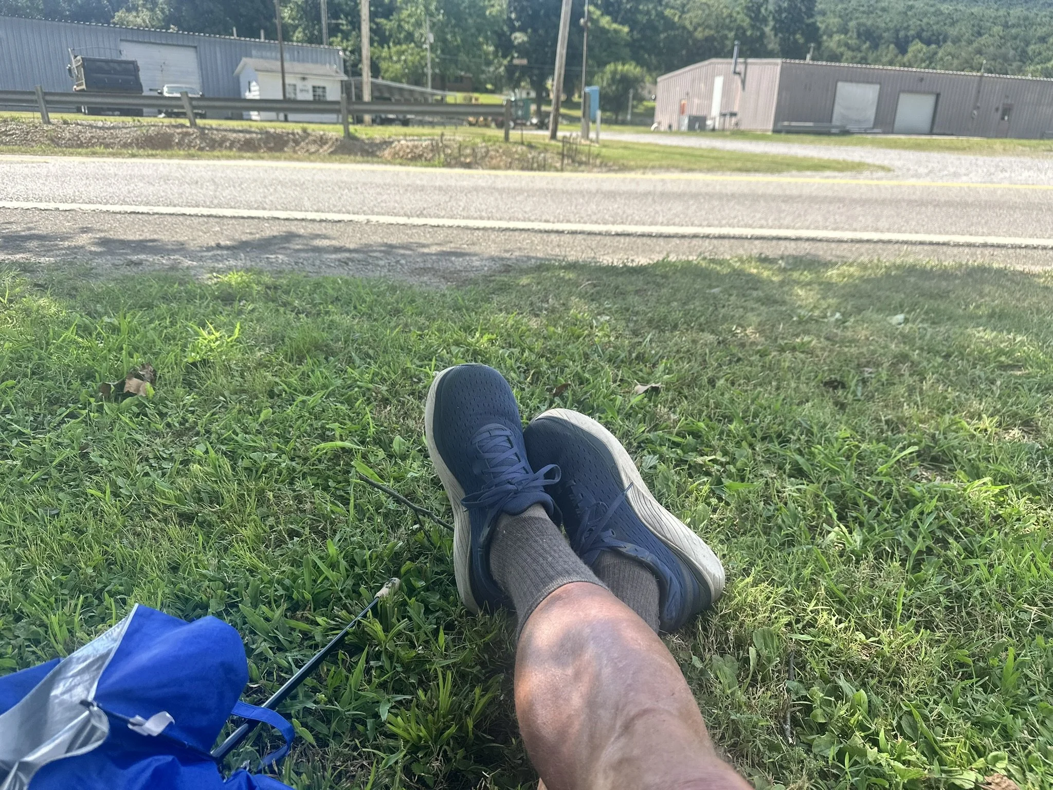
I woke up early, probably about midnight, but I'm not sure. Time was fuzzy by this point. I went across the street to a Circle-K for breakfast and headed down the road.
In Lewisburg at mile 200, there was a Super Walmart about a mile off the course. I needed some supplies and decided to hike over to it. As I stared into the parking lot, I noticed the place looked dark. I looked at my watch—it was almost 5:30 AM. They weren't open and I wasn't going to wait. I hiked back a mile.
(Total extra miles - 3)
About 2 PM I arrived at the Magnolia Inn in Shelbyville and got a room. I had read that this motel has a "questionable" reputation, but as every afternoon, I was totally wiped out and it was brutally hot. I actually thought this place couldn't be worse than two of the others I stayed in. I was wrong.
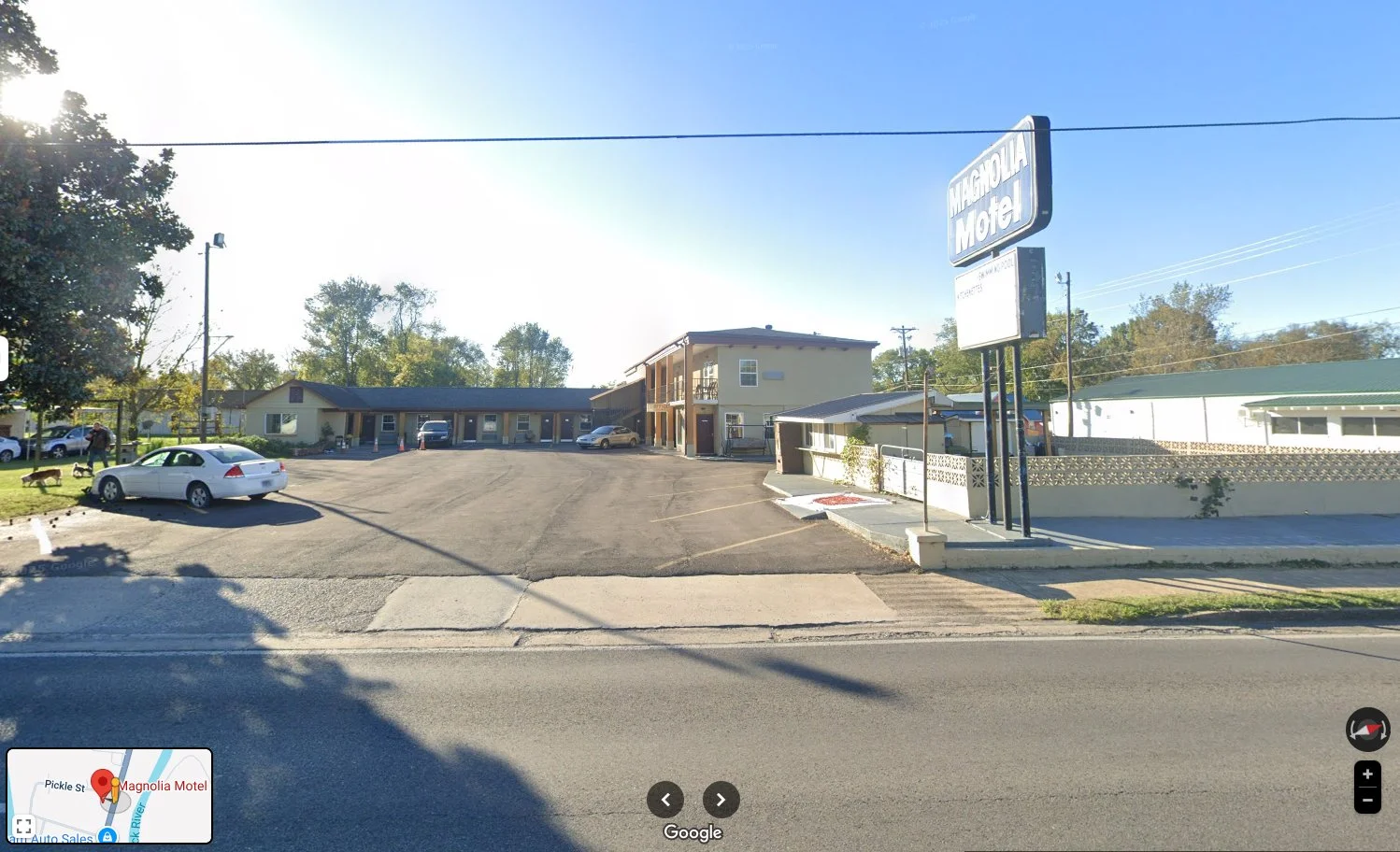
As with all the really bad motels, the lobby was a 4x6 cubicle that was stifling. I had to stand outside—it was hotter in the tiny room than out in the sun. I checked in and went into my room, and it looked OK. As I had done every day, I took my shoes off and propped my feet up on the AC to cool down.
The bed didn't look like it had been properly made up. I went to investigate. I pulled back the bedspread and there were long dark hairs under the bedspread and food crumbs. I pulled back the sheets and there were blood stains on the sheet that were still bright red. I'm not making this up—I should have taken a picture. I went back to the cubicle and said I wanted a refund. The guy said, "Don't you just want another room?" He didn't seem to understand the problem. It took about 30 minutes for them to figure out how to process a refund. Then I headed down the road to a gas station to figure out what to do next.
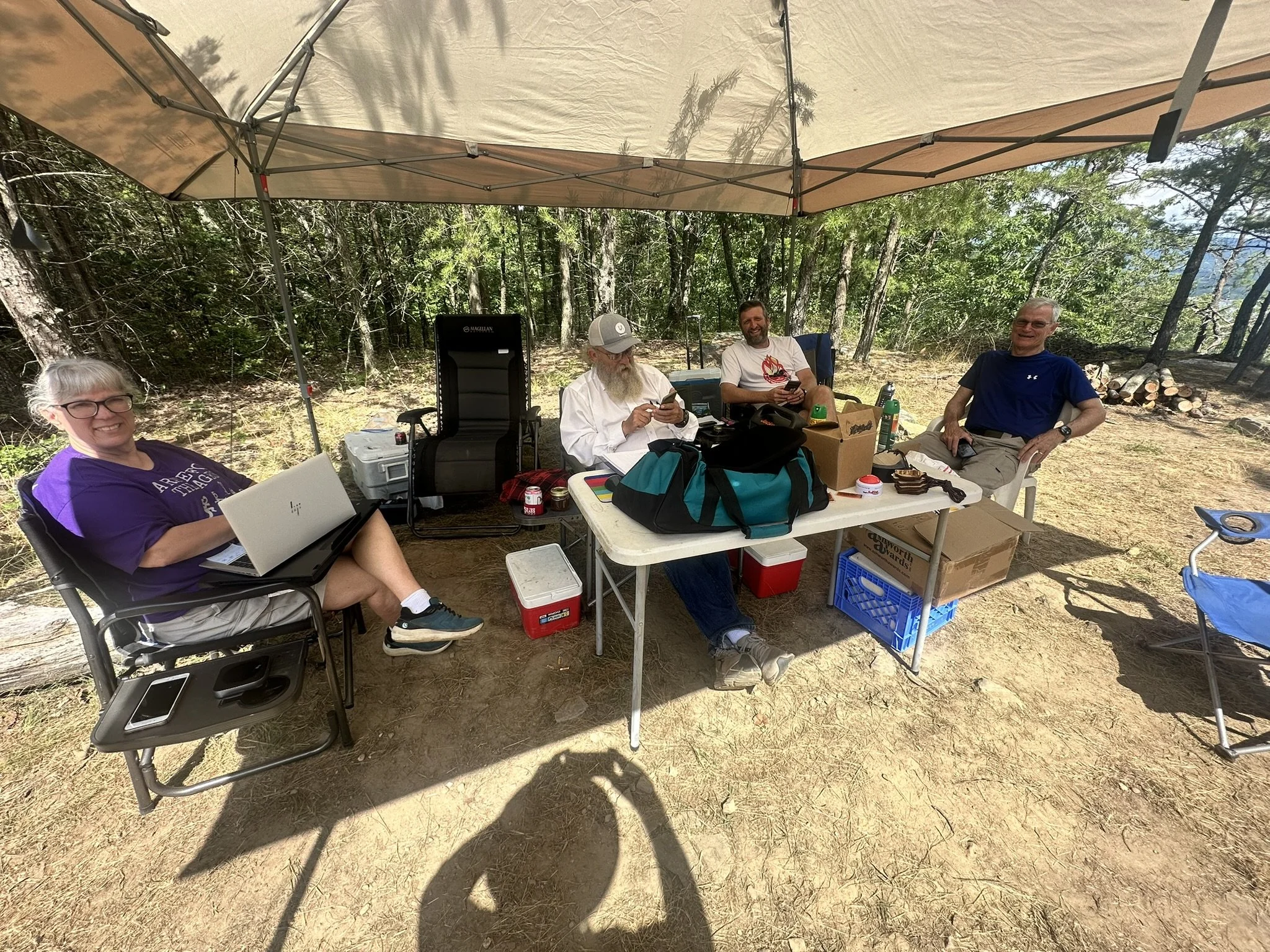
I met the photographer for LAVS, Jenny, at a gas station, and she suggested the Belmont Inn, but I had already found a place called the Blue Ribbon Inn that looked good, although it was about a mile off the course.
Jenny’s photo is not good. It doesn’t begin to capture the total distress I felt at that point.
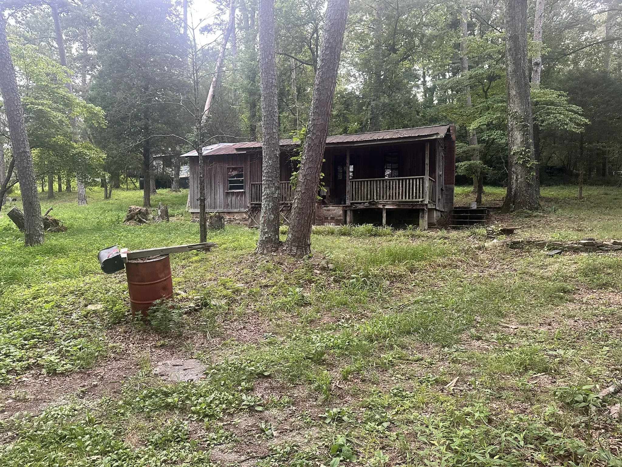
I walked right by the Shelbyville Inn, which also looked decent on the way to the Blue Ribbon. Google Maps sent me in circles to get to the Blue Ribbon Inn. When I finally got there, it was worse than the Magnolia—people had their grills and lawn furniture in front of rooms. NOPE! Next I hiked over to the Belmont, another mile away. This turned out to be a historic home that was more like a B&B. They were full. I remembered the Shelbyville Inn and decided to try it. By now I was disoriented and had trouble figuring out how to get back to the inn. Google Maps thought I was driving. I finally made my way back. It was a decent hotel. It needed a lot of maintenance but and the staff was friendly and they actually had a lobby. They also had coffee in the rooms!
I didn't keep up with my mileage, but I probably walked an additional 4 miles before I got to the hotel, plus the half mile from, and back to, the course. Instead of getting to sleep by 4 PM as planned, it ended up being 8 PM. I don't even remember if I had anything to eat that night—probably a protein drink.
(Total extra miles: 8+)
In addition to the Shelbyville Inn, that was 1/2 mile off course, there was a Best Western Inn and Suites, about one mile off course. I had not planned ahead. At the end of an extremely hot and very long day is not the time to evaluate options on an iPhone.
Day 7: Wednesday, July 16th
The Short Day – Mile 221 to Mile 250
A little less than 4 miles out of town, I came to a Circle-K and had breakfast. My goal was to get to Manchester and the hotels on I-24 at mile 250—a total of only 29 miles. While leaving town, I noticed my right shoelaces seemed too tight. Twice I stopped and loosened it. Then I realized there was discomfort in my right shin. It was shin splints! I hadn't had shin splints since I ran the mile in high school.
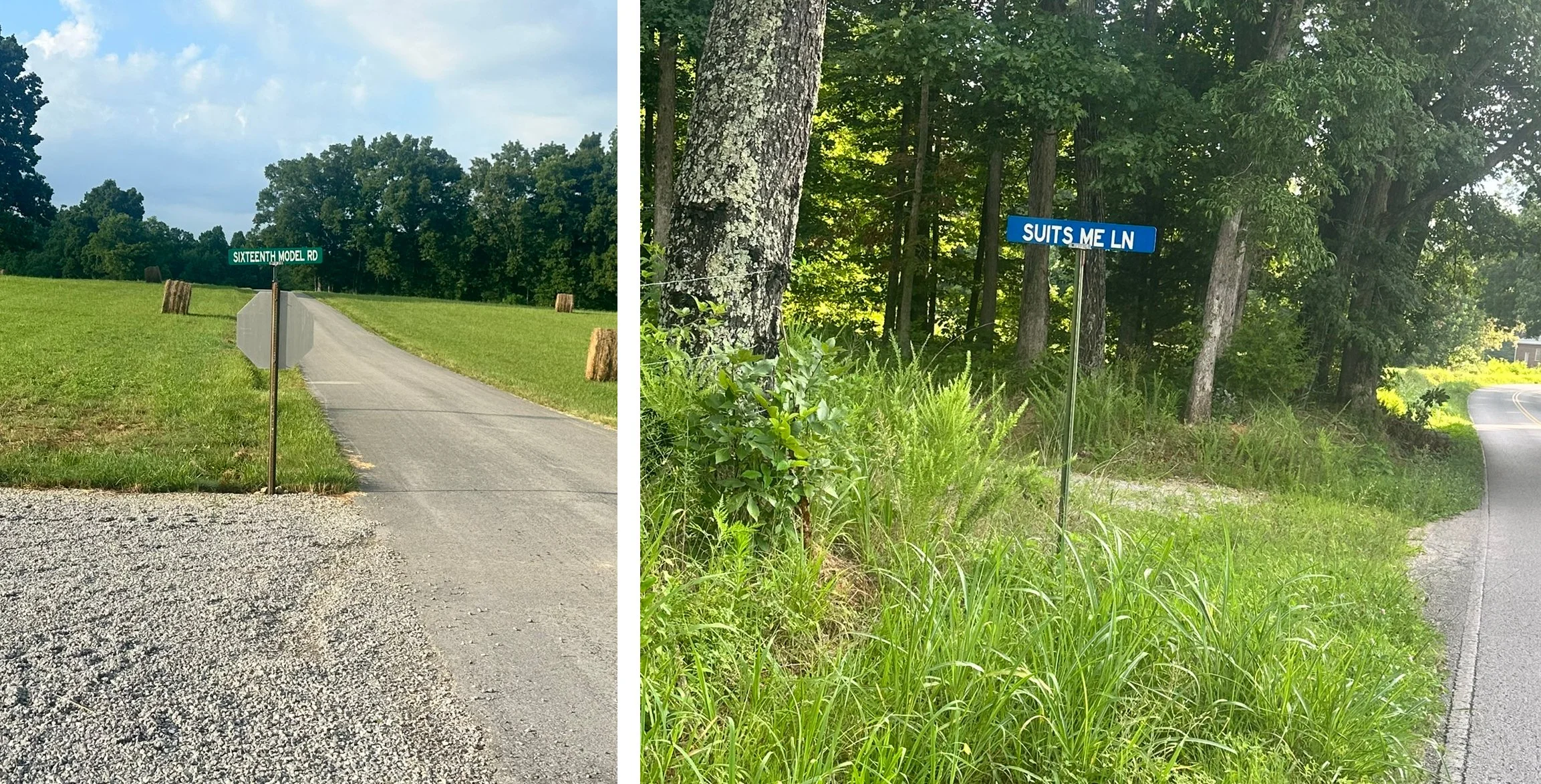
I still ran some downhill sections in the early hours, but it aggravated the shin splints. I gave up on running and just walked. Basically, this was a pleasant day, relatively speaking! I passed two "interestingly named roads"—"Sixteenth Model Road" (we were on this one for several miles) and "Suites Me Lane." You can tell what state my mind was in—who takes pictures of street signs! I passed these roads and signs about 7:30 AM.
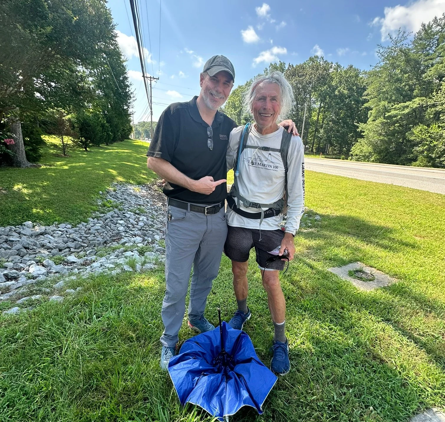
As I entered Manchester about 10:15, two green "Geico" Insurance cars pulled up to a stop sign just in front of me. The first pulled out onto the highway I was running along. The second car stopped at the stop sign. I don't run in front of cars at stop signs since the drivers are looking for cars, not runners. I went around the back of the second car and the driver hopped out and said, "David?" It was Robby Watson, one of our long-time running friends from Birmingham. What are the odds? We visited a few minutes and he was on his way.
Just after running into Robby, I stopped at a small diner for lunch and had a salad, green beans, and a BBQ sandwich—my third "real meal." Plus two huge glasses of iced tea!
After lunch it was only 3 miles to the intersection with I-24 at mile 250! I was "On the Road Again" by 11 AM. Only 65 miles to go! I reached the Comfort Inn and Suites at about 1 PM, a REAL HOTEL!! They were kind enough to let me check in early. They knew all about the race and were glad to help. I was asleep by about 3 PM and intended to get up about 7 PM. I ended up sleeping till 9 PM, so it was 10 PM before I started.
Day 8 started at 10 PM but it was still Day 7!
After a quick stop at Walmart for supplies and Circle-K for dinner, a midnight snacks, and breakfast, I was on my way. (This was “still” day 7)
Day 8 – Thursday, JULY 17TH
"The Longest Day" - mILE 250 TO MILE 298
The next section was about 50 miles. I was determined to reach the host hotel, the Clarion Inn, in Kimball, TN at mile 298. This is where most runners spent Tuesday night, July 8th, before catching the bus to the start. We were also required to pick up trackers at the hotel before heading to the finish just 15 miles away.
This was Thursday, July 17th, and I needed to get back to Birmingham on Friday afternoon. Saturday was our "Hotter 'N Hell Trail Race" and I wanted to be there. Most LAVS runners take a long, or a short break in Kimball, then push on to the finish. Then, they come back to the Clarion Inn to sleep. That wouldn't work for me. I needed to get to the Clarion, sleep 8 or 10 hours, finish the race, then drive home.
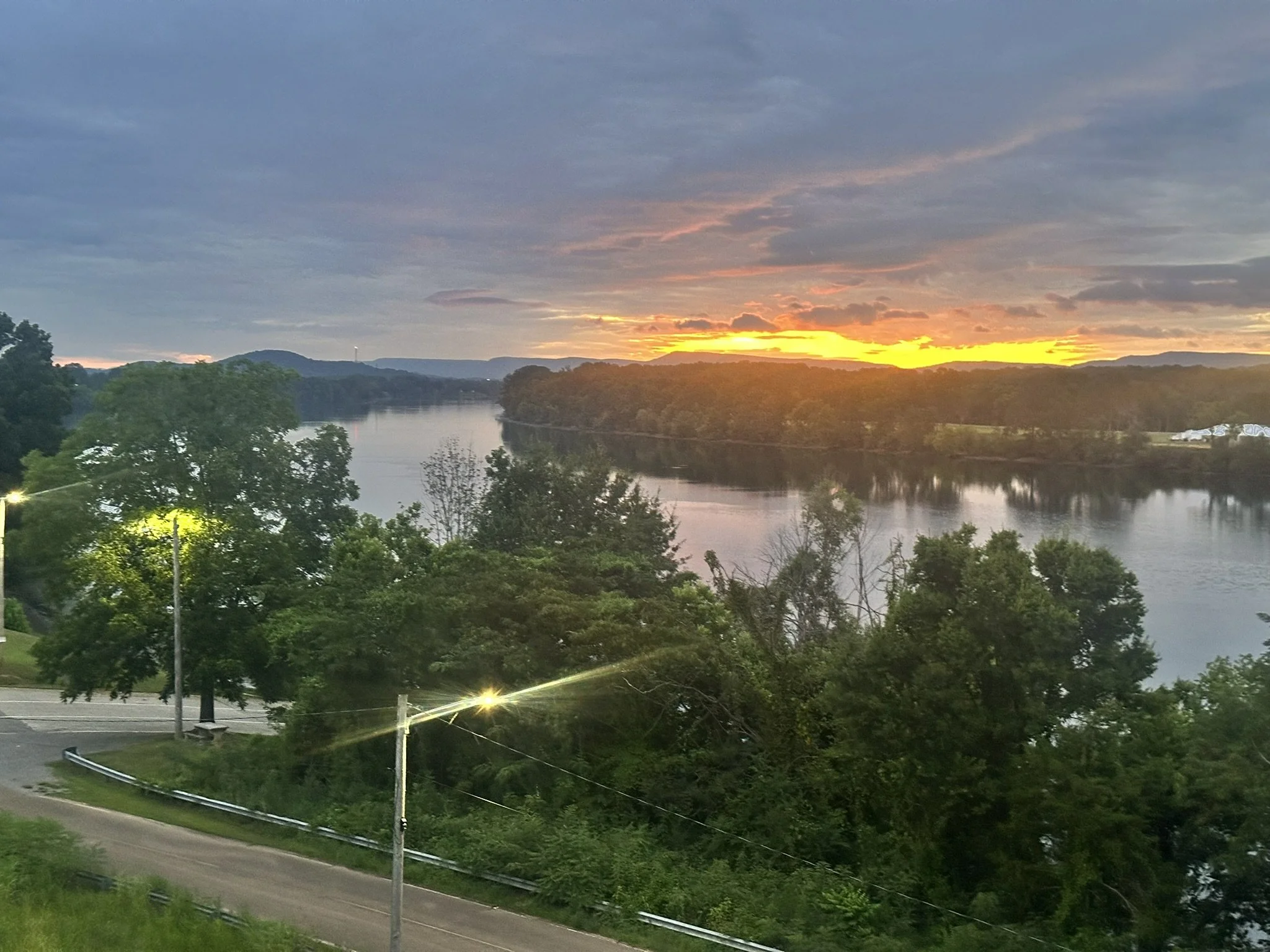
The first 18 miles of the day were fairly flat, and in the bright moonlight, I could see the Cumberland Plateau looming in the distance. About mile 268, we started the 3-mile, 1,000+ foot climb up the plateau. As I reached the top and the town of Monteagle, it was getting daylight. At 5:20 AM I saw a McDonald's about 1/3 mile to the right at I-24. I decided I would just eat my snacks and not add any extra distance. I should have gone the extra 1/3 mile and taken a break.
After a little less than a mile through town, the route turned off on Tracy Road—a narrow two-lane road with no shoulder. There's a white stripe on the outside of the paved roadway, then 6 inches of pavement, and a 3-foot deep ditch. This continued for over a mile. Apparently this was "rush hour" in Monteagle. There was a steady line of cars for the next several miles, all moving about 50 MPH. Most cars pulled over enough that I didn't have to jump in the ditch. However, when 3 or 4 cars in a row approached, I had to jump into the ditch—probably 5 or 6 times.
Then there was this (fill in the blank) driver who stared straight at me as he approached. His right tire was on the white strip, and he continued to stare straight at me. I realized he was telling me to get off the pavement or he would hit me. Since his truck weighed about 4,500 lbs. and I weighed 160, I decided it was best to hit the ditch. He was so close, all I could do was dive headfirst into the ditch. Fortunately, there were no rocks, but my phone, hat, and sunglasses went flying. After that, I popped up my silver-topped umbrella for the rest of the section so no one could claim they didn't see me. Also fortunately, the ditch ended, and it was at least possible to move over to the grass as cars approached.
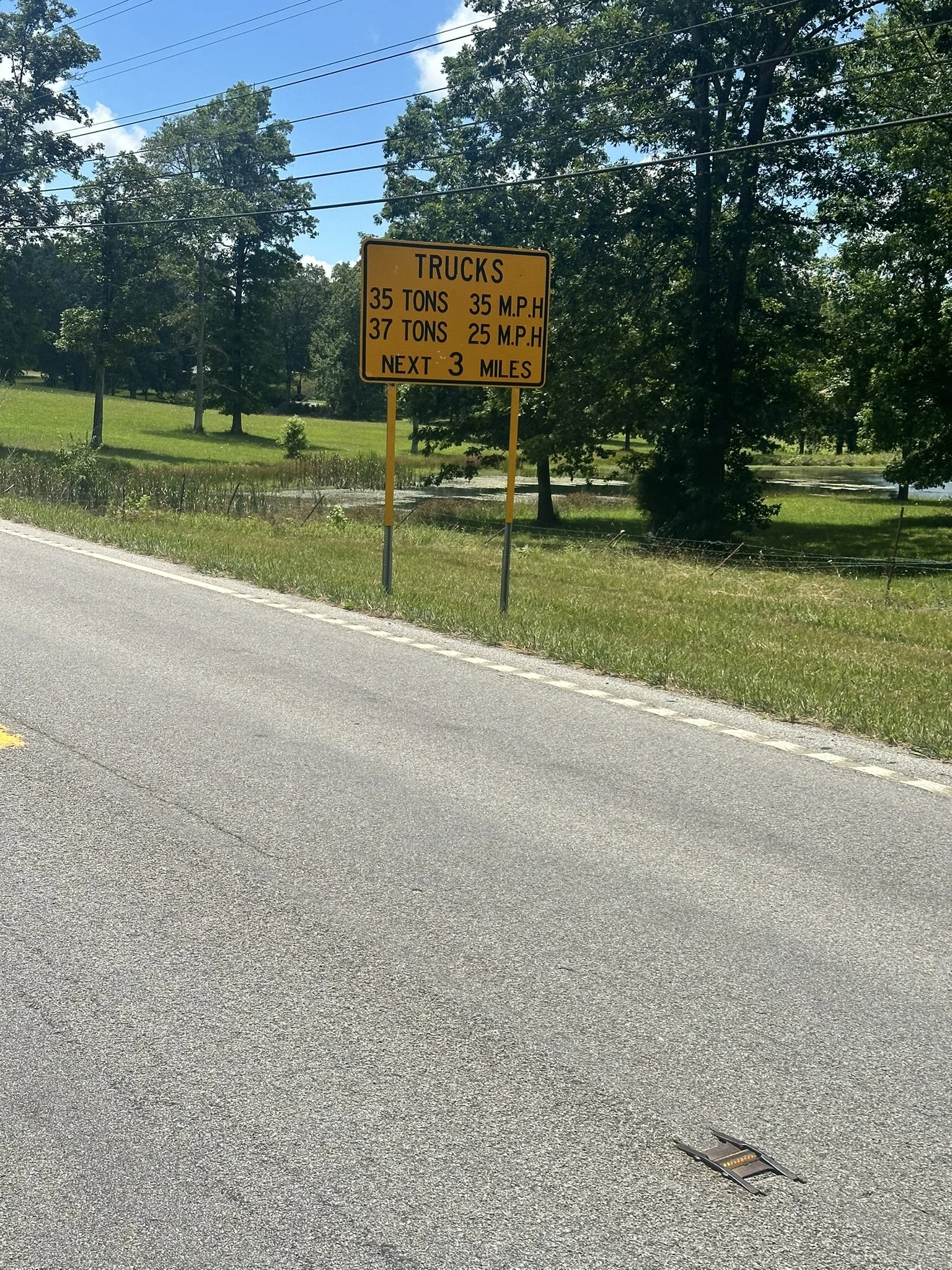
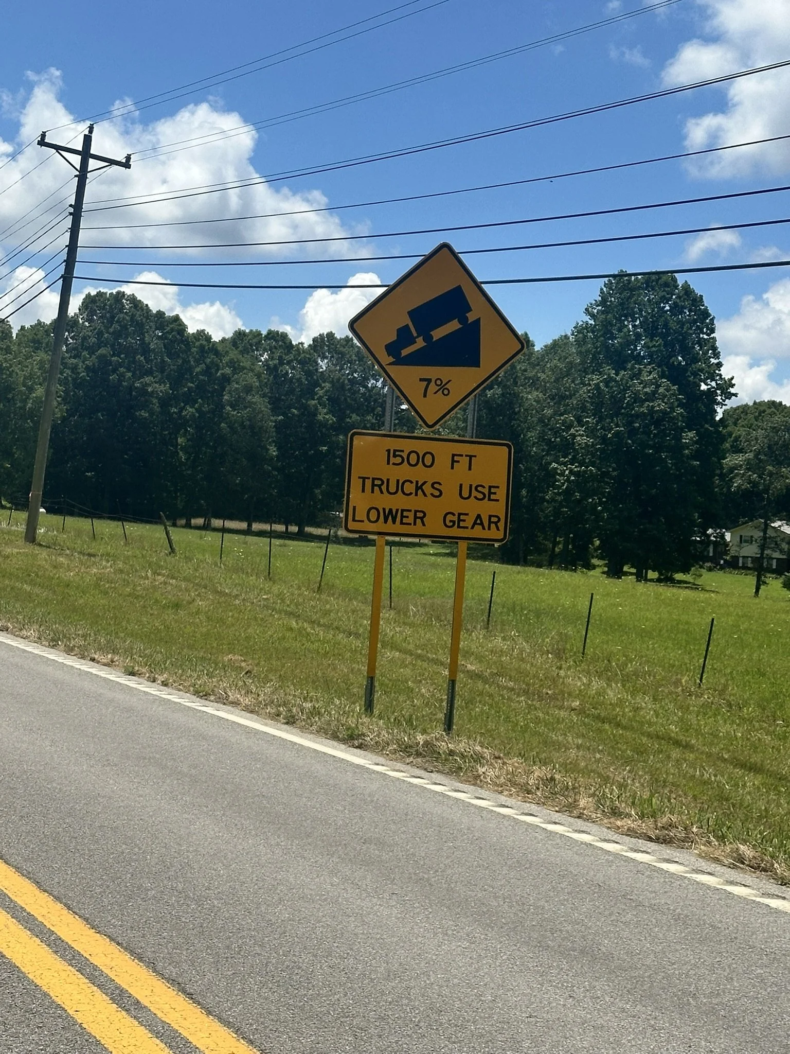
The rest of the day was very long and extremely hot. It was 17 miles across the top of the plateau. When I finally saw the signs warning trucks to use low gear for the next several miles, I was so excited I started taking pictures of road signs again! Although it was brutally hot, I had a 3-mile, 1,300-foot descent ahead.
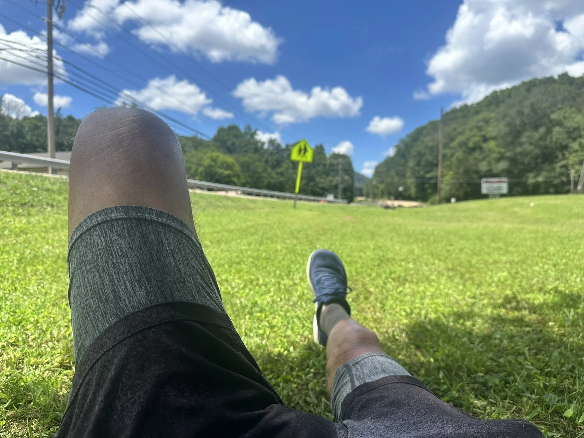
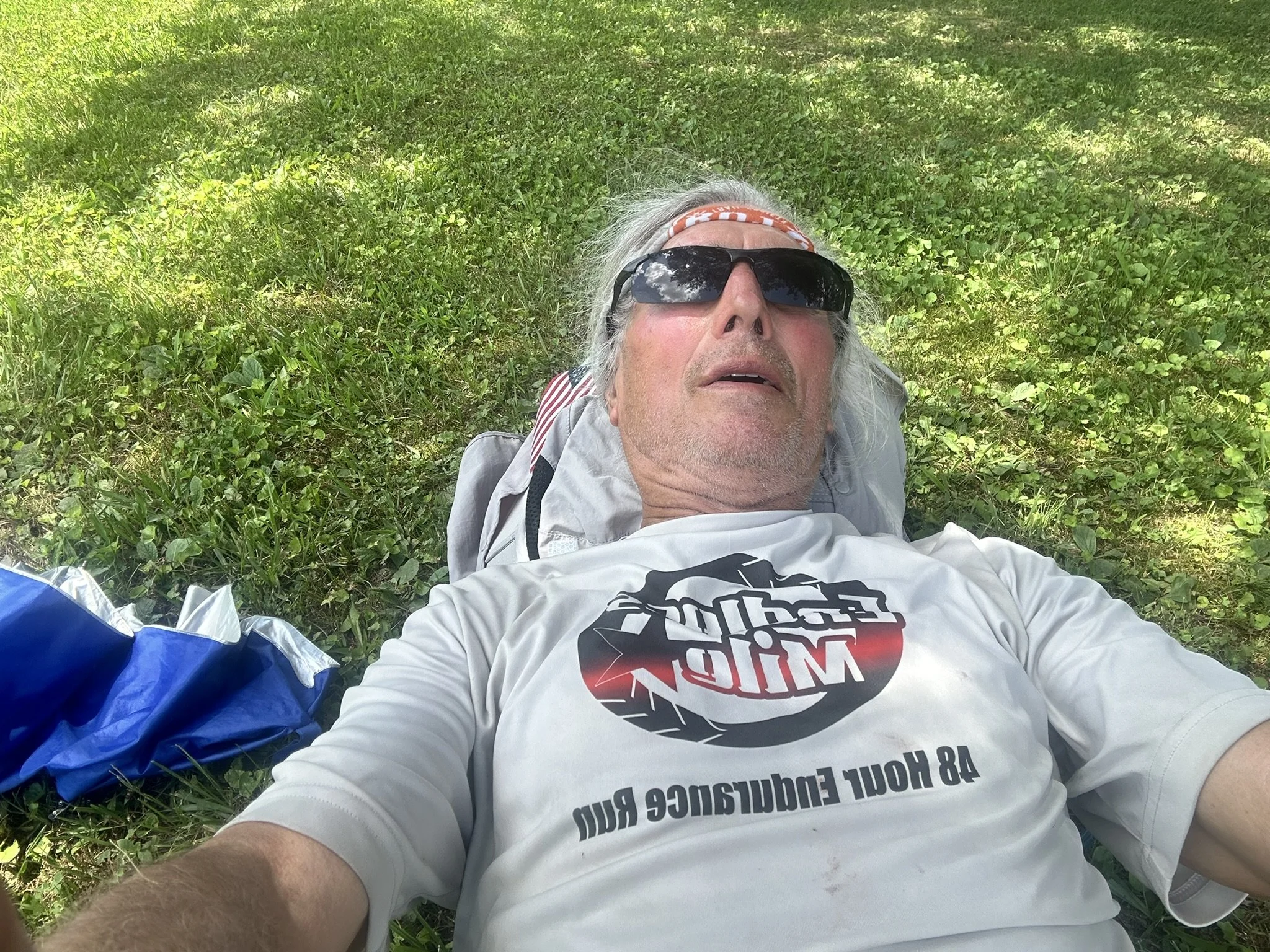
Going down the mountain was awful. It got hotter as I descended, and there was absolutely no breeze. By the time I reached the bottom of the hill, I was baked! At the first big shade tree with a grassy lawn around it, I lay down. I was probably there 30 minutes trying to cool down. I was afraid someone from the house was going to tell me to get off their grass. They didn't.
I passed the bank clock at 2:14 PM with 4 miles to go.
At 3:32 PM I still had over a mile to go. That’s slow progress.
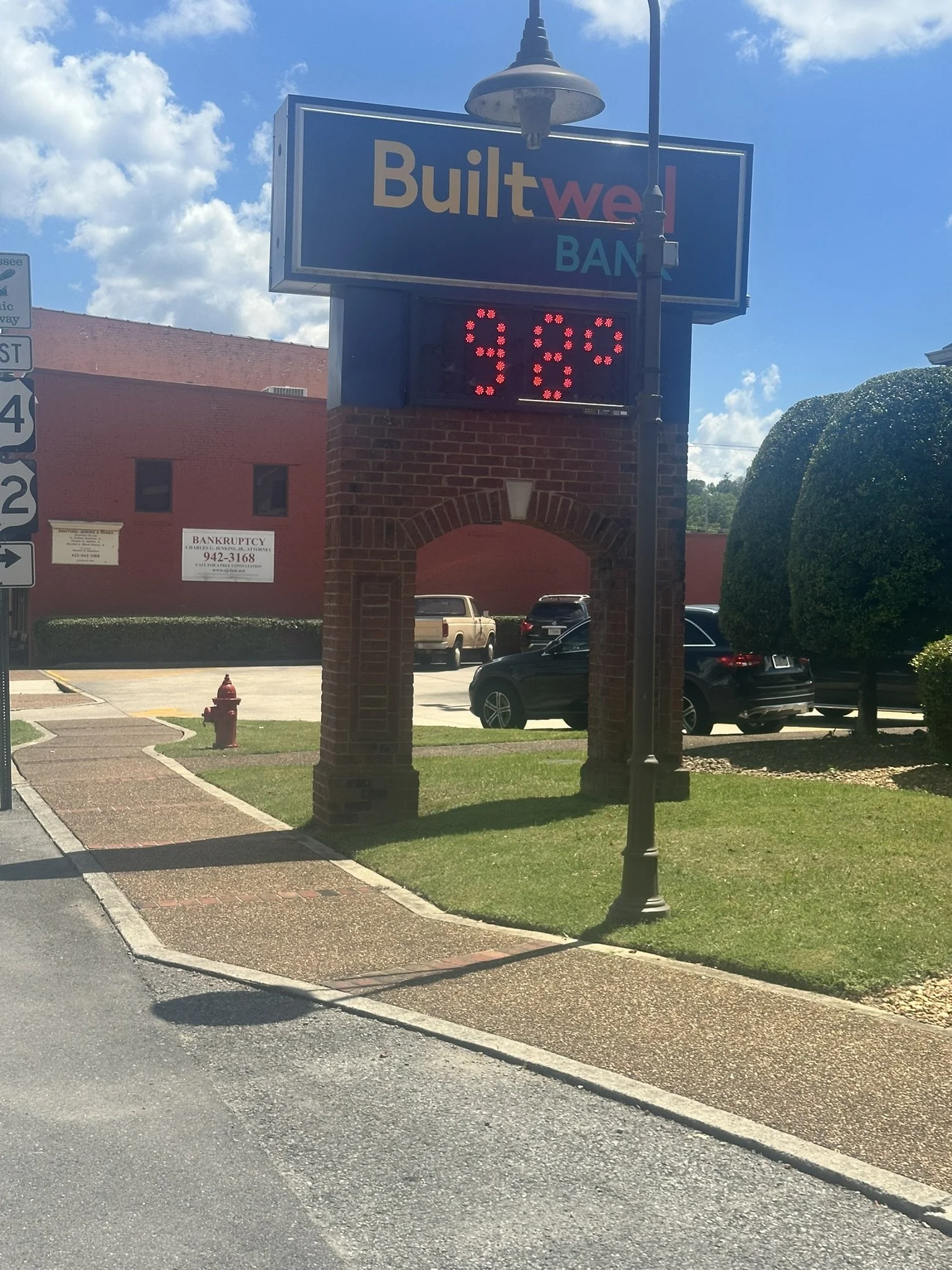
From the bank sign in Jasper, showing the temperature, it was only 4 miles to the Clarion Inn in Kimball. I had to stop twice to cool down. The first stop was at an Exxon just past the bank. They only got 2 stars, but it was cool inside and they had very cold drinks. I think I also had an ice cream bar.
I only managed to go a little over two miles before I had to stop again. I finally made my way to the Clarion at mile 298 and checked in. I probably drank another protein drink for dinner. I didn't want to leave the hotel till morning.
By 4:20 PM I was sitting with my feet propped up on the AC in the Clarion Inn. Thanks to the shin splints, my right ankle and lower leg were a bit “puffy” but not too sore.
Day 9 – Friday, July 18th
The Final 16 Miles - Mile 298 to 314
I slept in, I didn't get up until about 4 AM—I had slept 10 hours! Needless to say, I felt great. I picked up my tracker in the hotel office and headed over to the McDonald's just down the road. I got two Egg McMuffins, then stopped at a Circle-K, added a few supplies for the final leg of the journey, and headed up the road to “The Rock.”
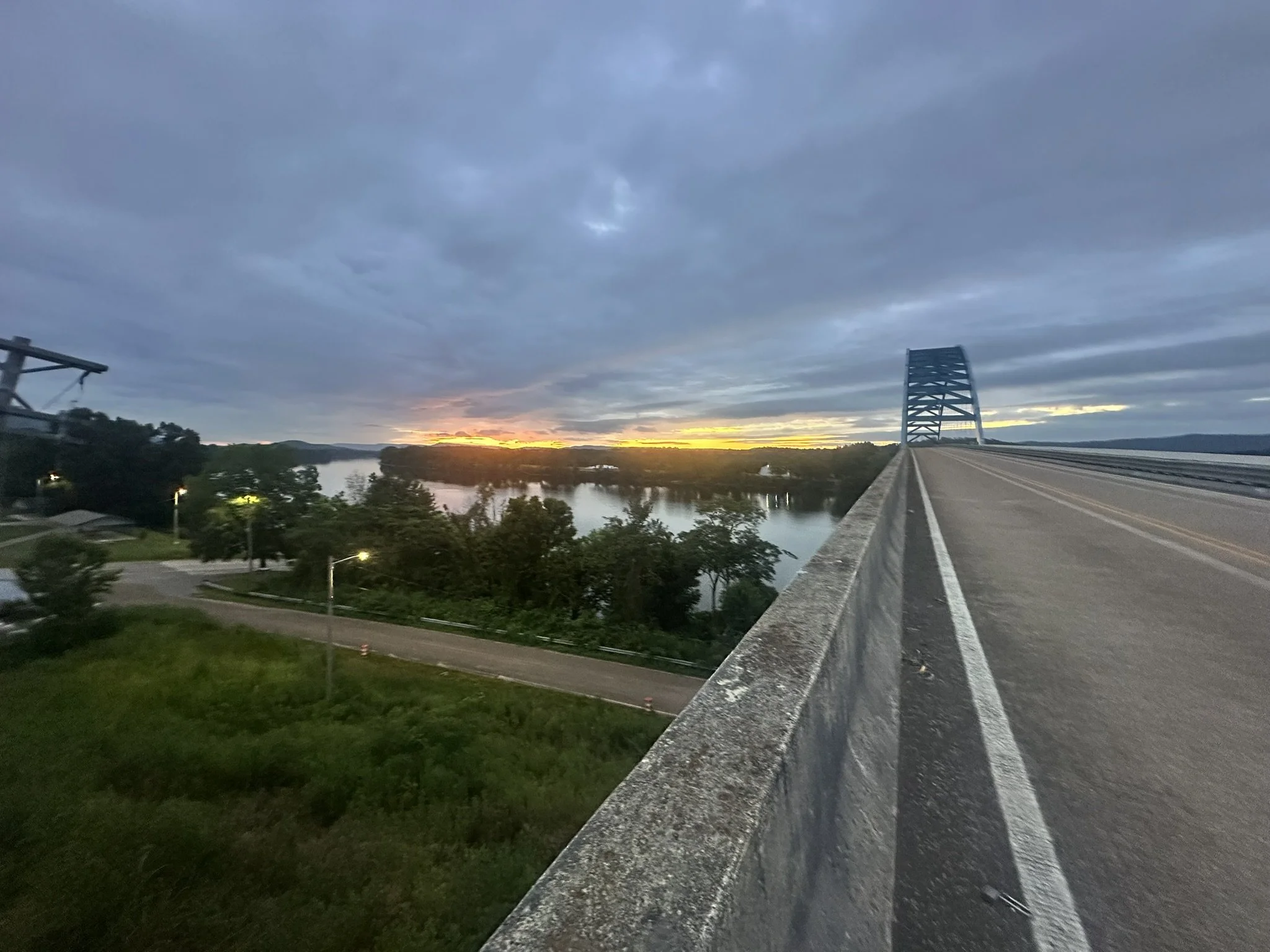
At 5:32 AM I crossed the Tennessee River at mile 300.5, for the second time in the run.
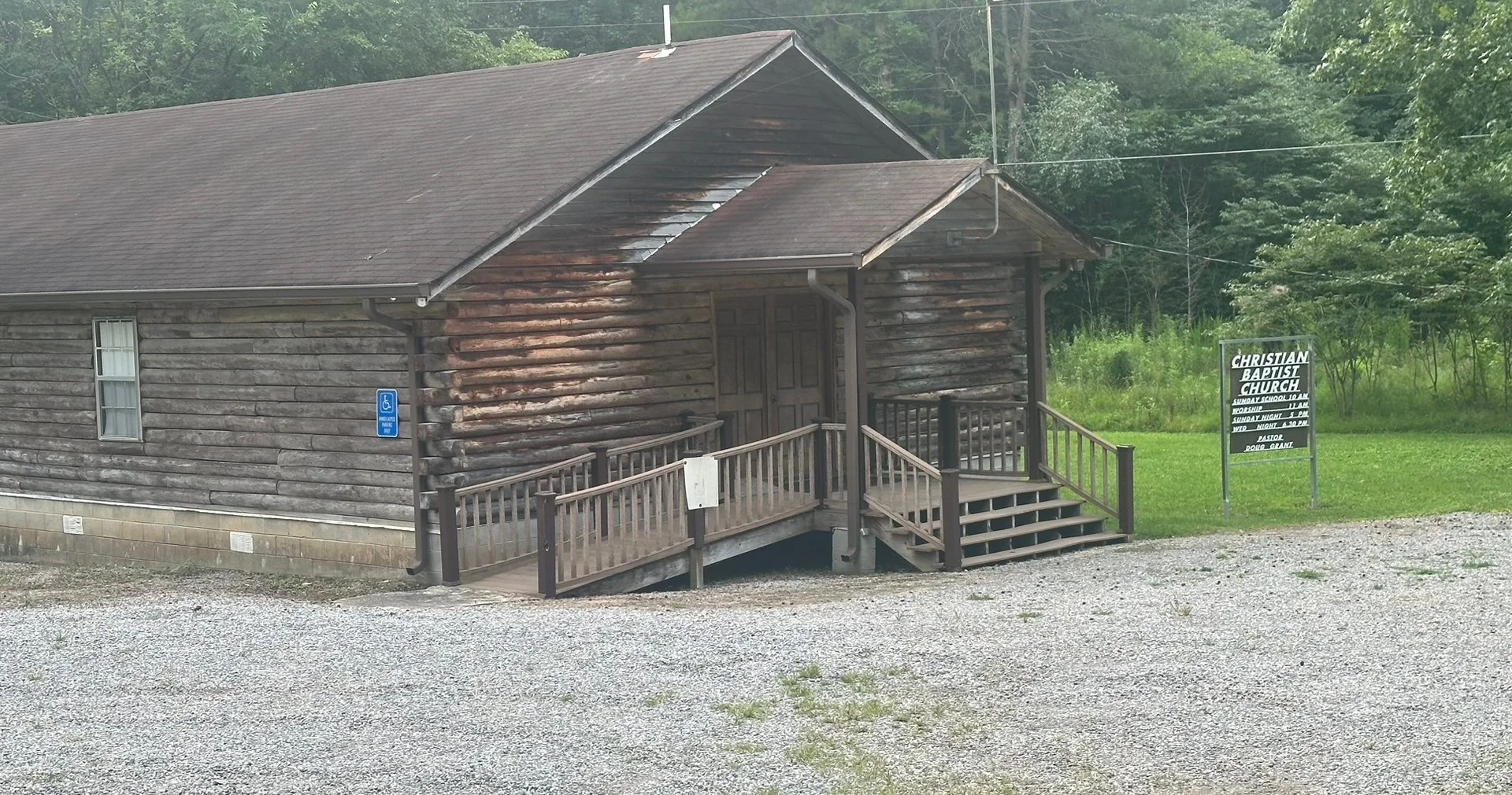
On the way to the finish I passed some interesting sites. Or maybe everything was interesting since I was almost to the end.
Do you suppose there is an “implication” here? Mile 303.8
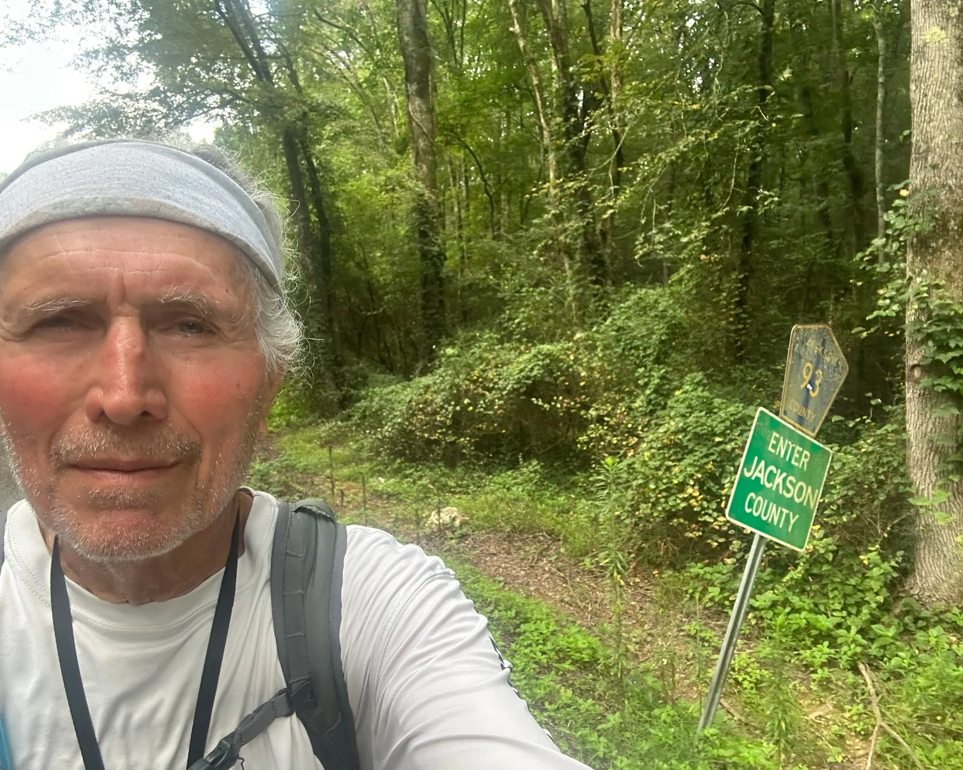
We are definitely in rural Tennessee. Mile 304.1, almost to the Alabama State Line.
Alabama - mile 304.3 - 7:40 AM
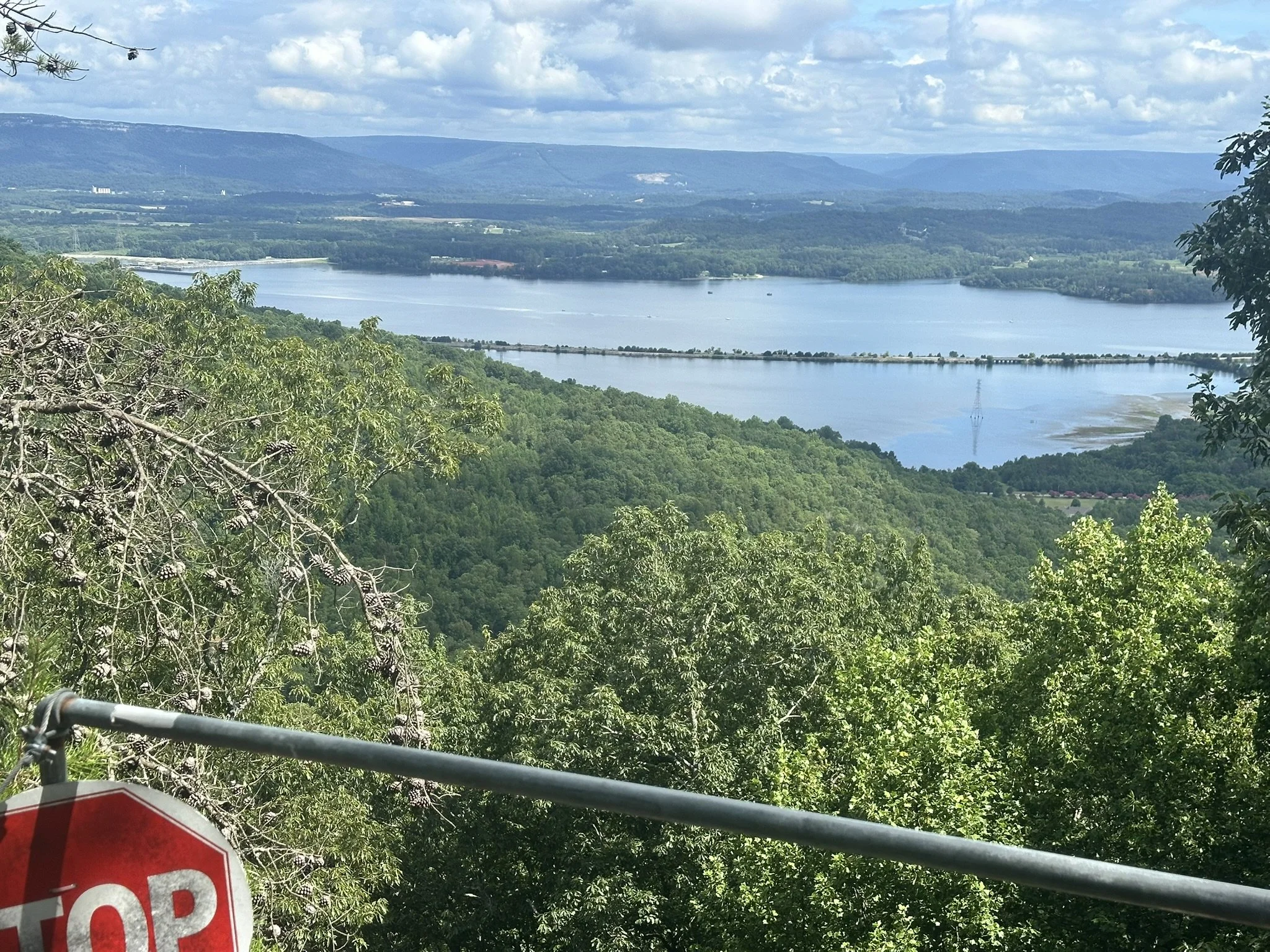
After climbing over a small ridge at mile 306, we started the 1,000-foot climb, over three miles, up Sand Mountain. Sand Mountain is a plateau, like the Cumberland. Once on top, it's flat. Runners reach the top at mile 309. From there, it's 5.75 miles to the finish. There was only one spot along the road with a decent view from the top.
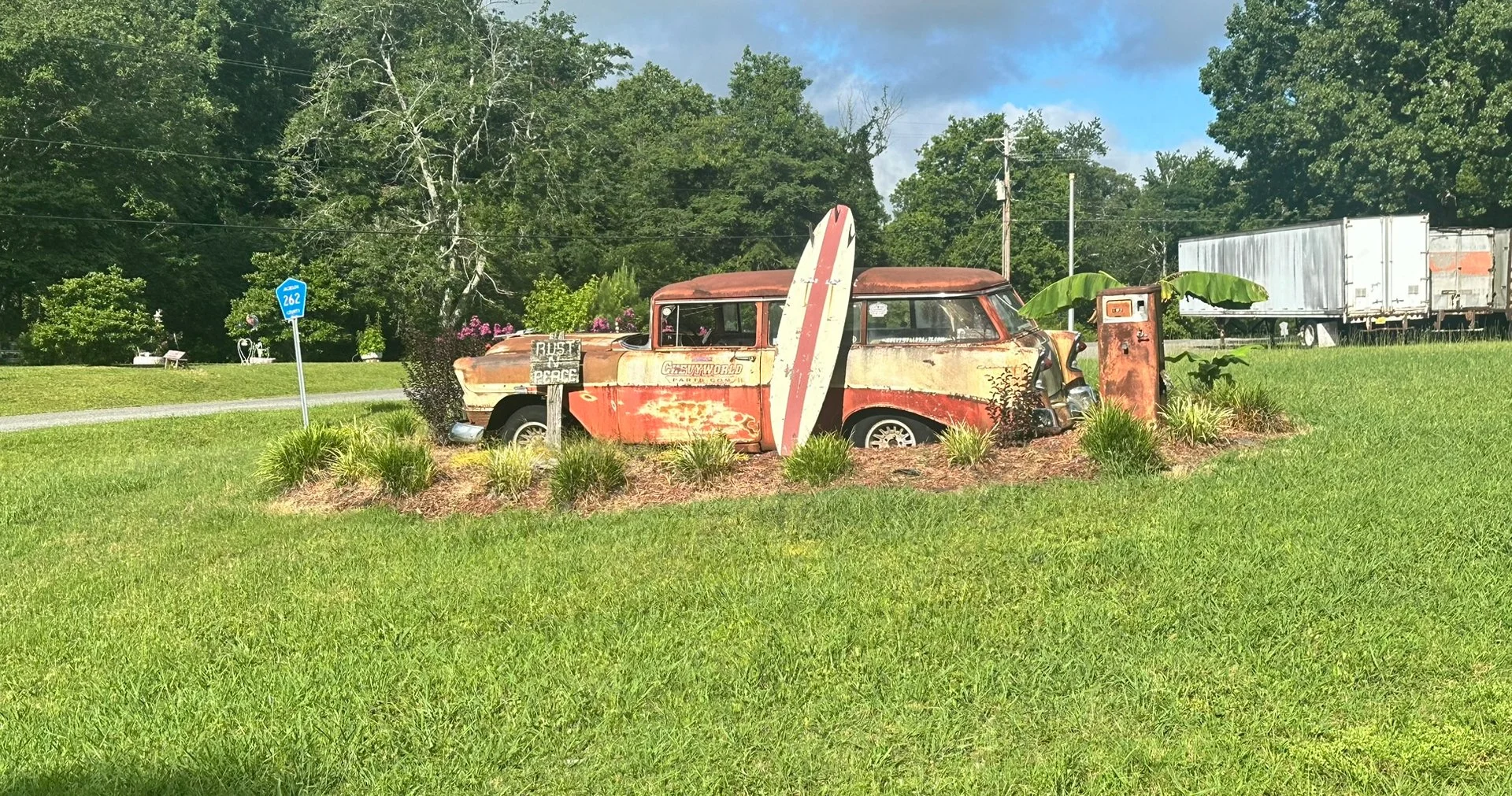
I had to stop and get a pictures of this, “RUST IN PEACE.” I love it!! - Mile 310.5 - 8:45 AM

The Final Turn to the finish - Mile 312 - 9:15 AM
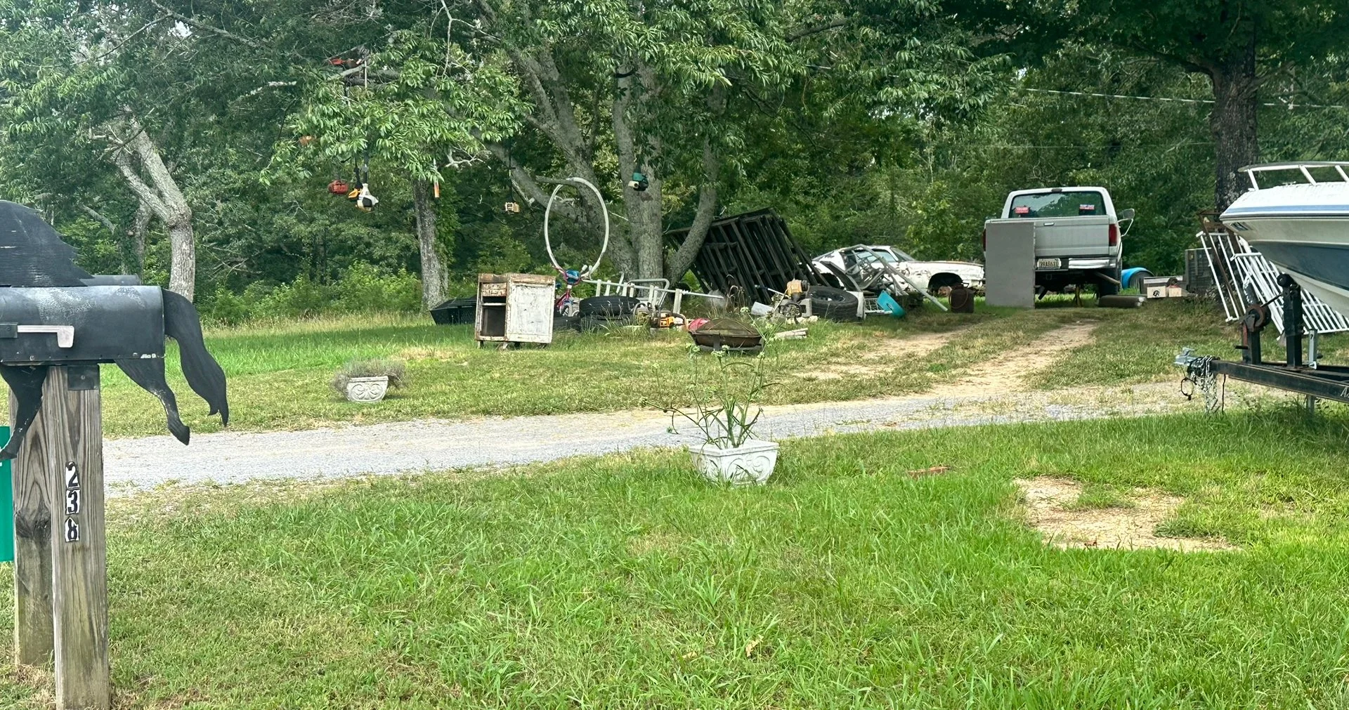
This is likely the only example of the this particular type of yard decoration in the entire US. To be specific, “Tree Decoration.” Can you identify what’s hanging in the tree that also has a white hoop hanging on a limb? Six are visible in the photo. I think there were 3 or 4 more. I couldn’t stop in front of the tree to take the photo. I was afraid someone in the house might shoot at me. I was too close to the end to die!
9:20 AM - Mile 312.5
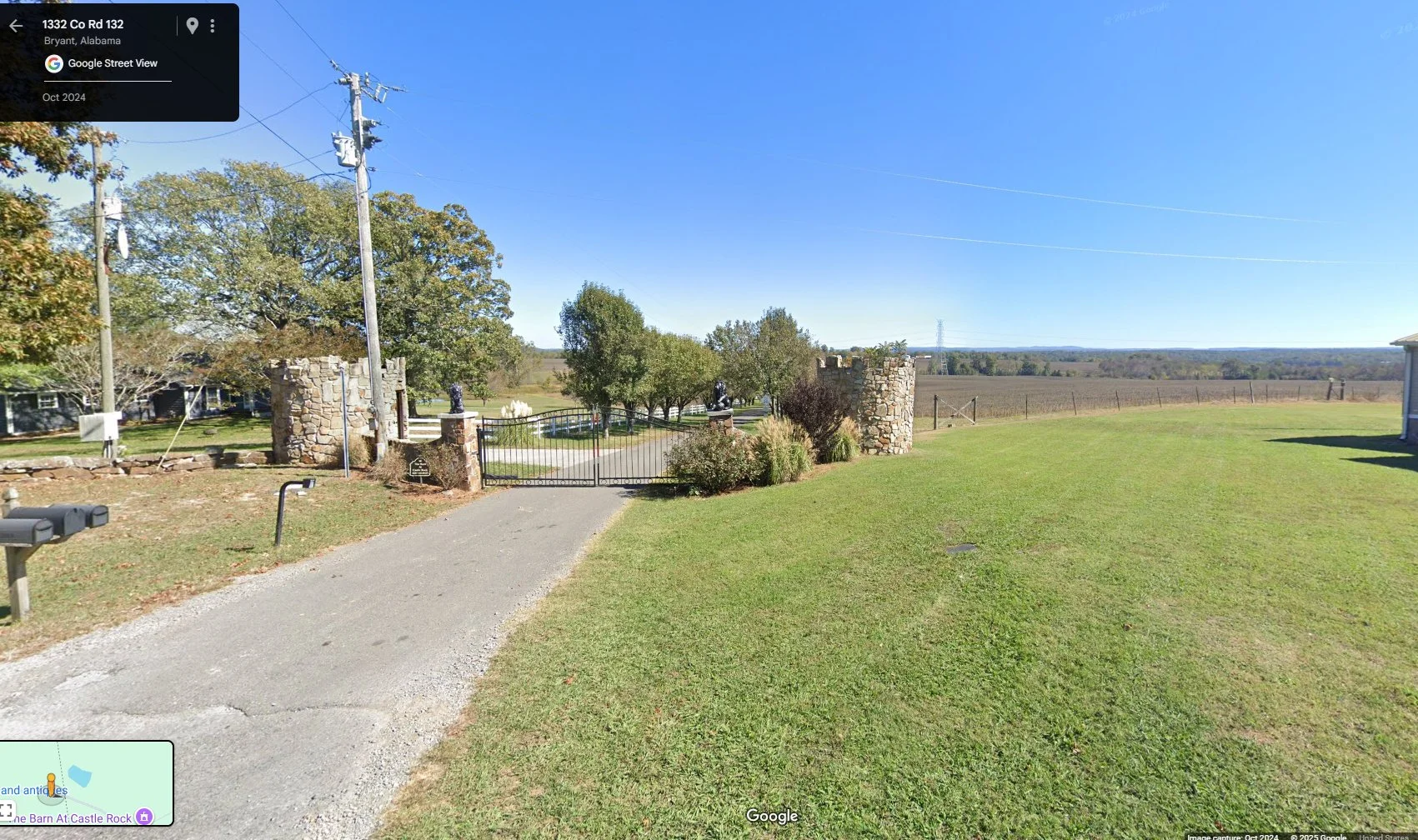
The Castle Rock Farm Entrance - Mile 313.7 (I had to use a Google Maps, Street View image.)
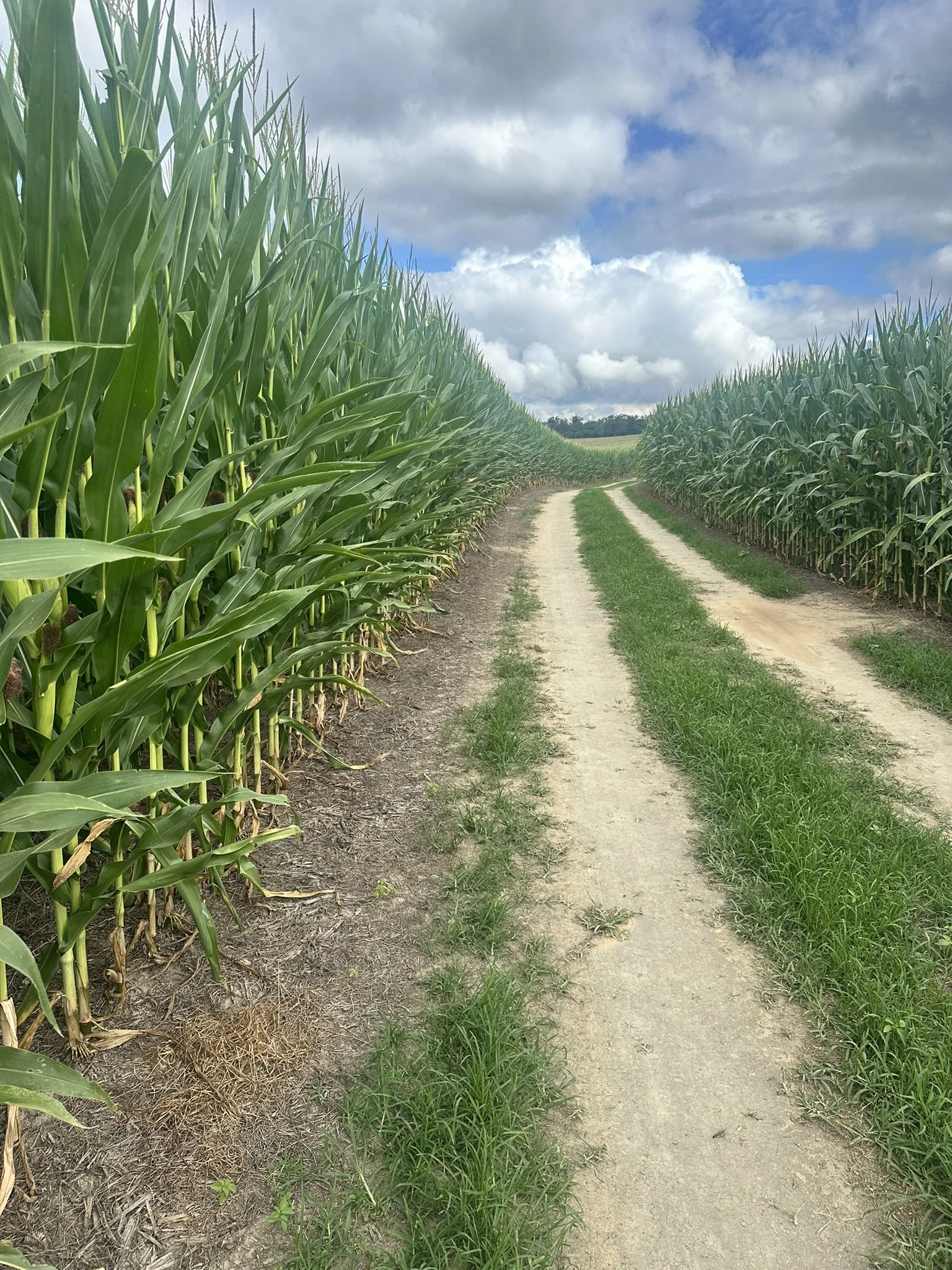
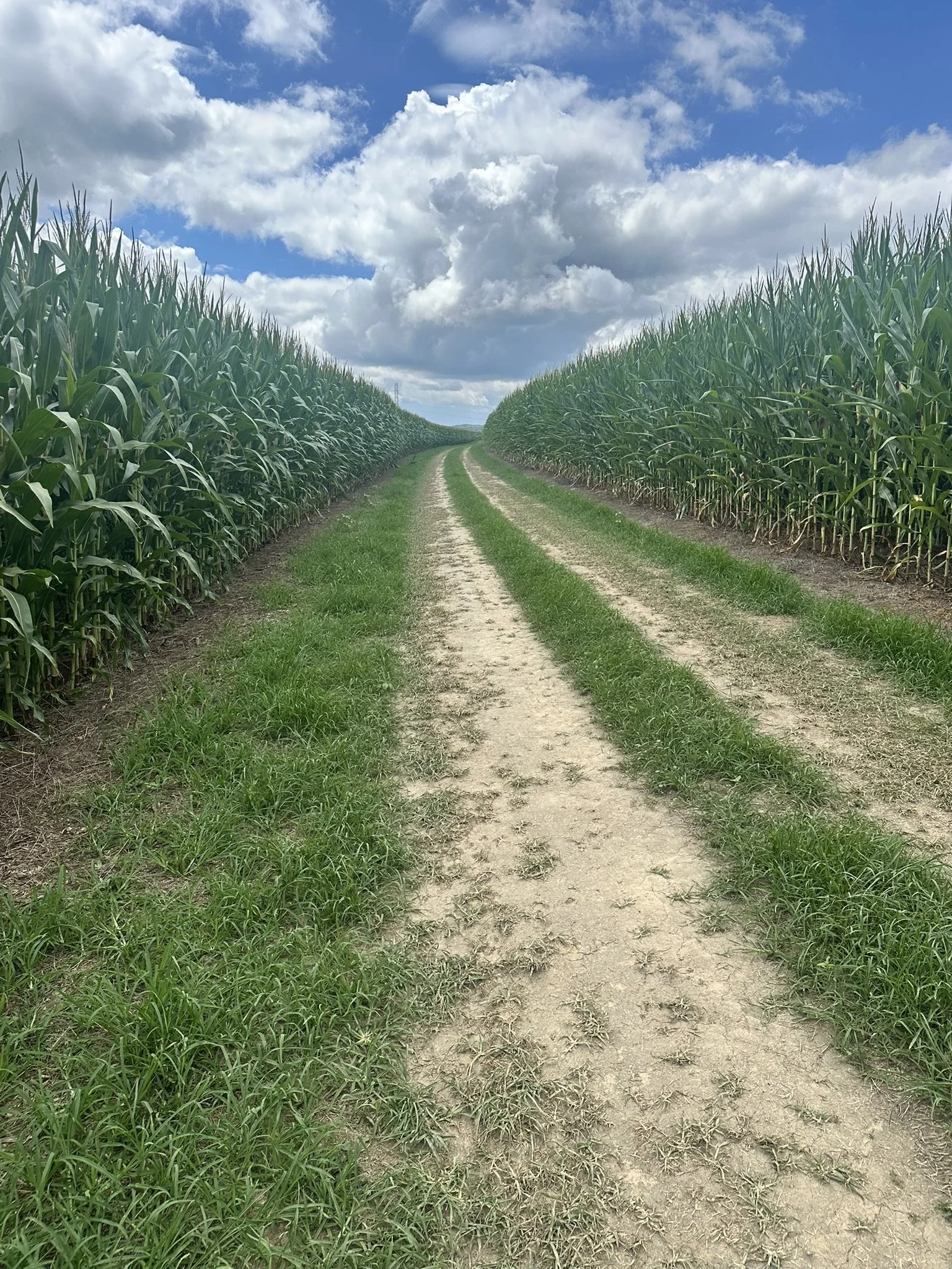
Once through the gate, runners have to pass through 3/4 mile of 10’ to 12’ tall corn. The “Corn is as high as an elephants eye,” Can anyone tell me where that quote came from?


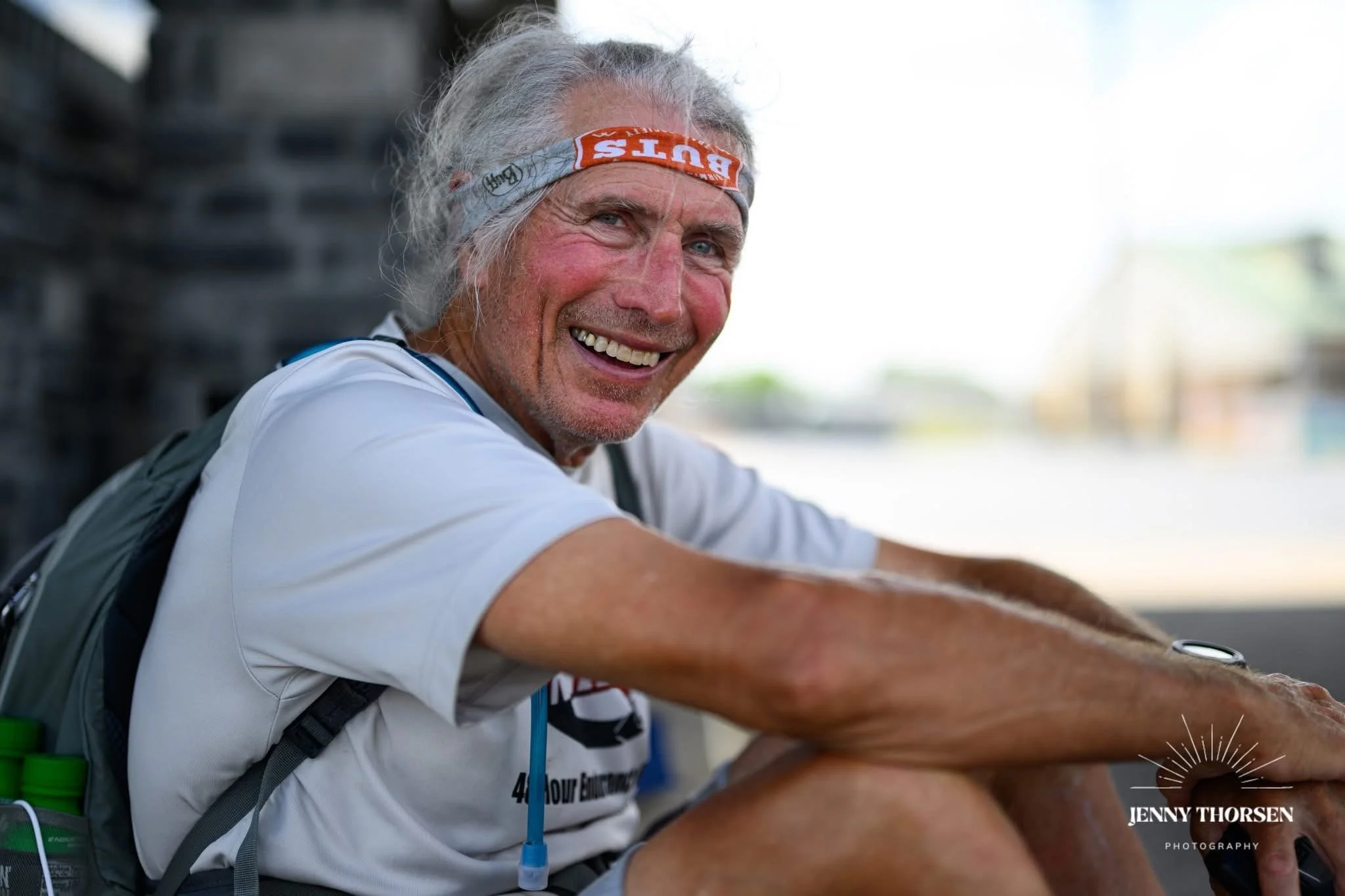
CASTLE ROCK FINISH - 10:21 AM
TOTAL MILES: (OFFICIAL) 314.8
MY OFFICIAL MILES: 322.8+ Includes ramblings & missed turns.
FINISH TIME: 8 DAYS, 2 HOURS, 42 MINUTES, 49 SECONDS.
I had about 30 seconds added to my time because I didn't realize I hadn't finished until I grabbed the rail—sort of like kissing the rock at Hardrock.
As if that wasn’t enough, I had to run the mile back to my truck after finishing!
POST NOTES
THE CARNAGE: NOT TOO BAD CONSIDERING
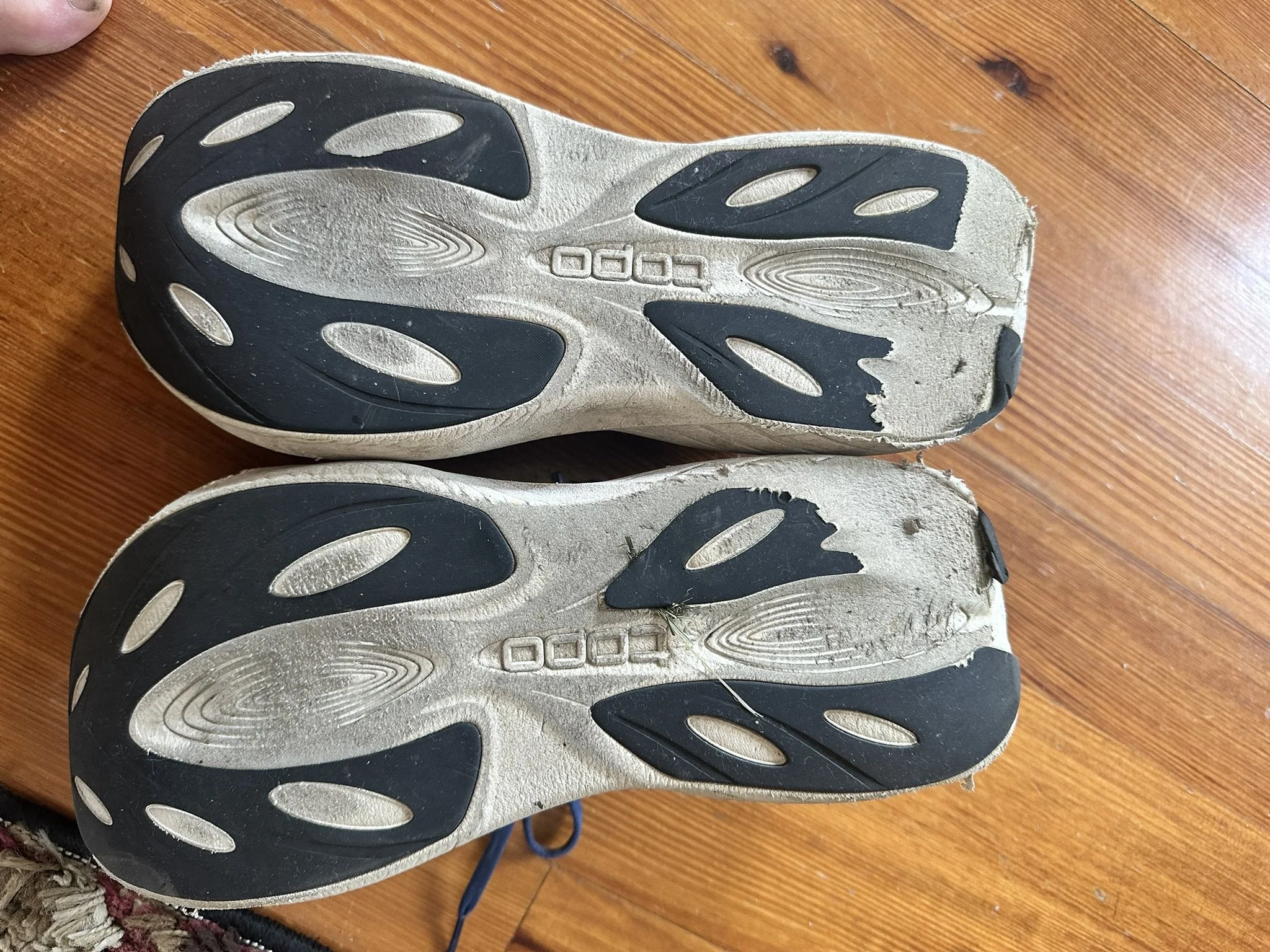
1) One pair of Topo Road shoes finished.
In Summation:
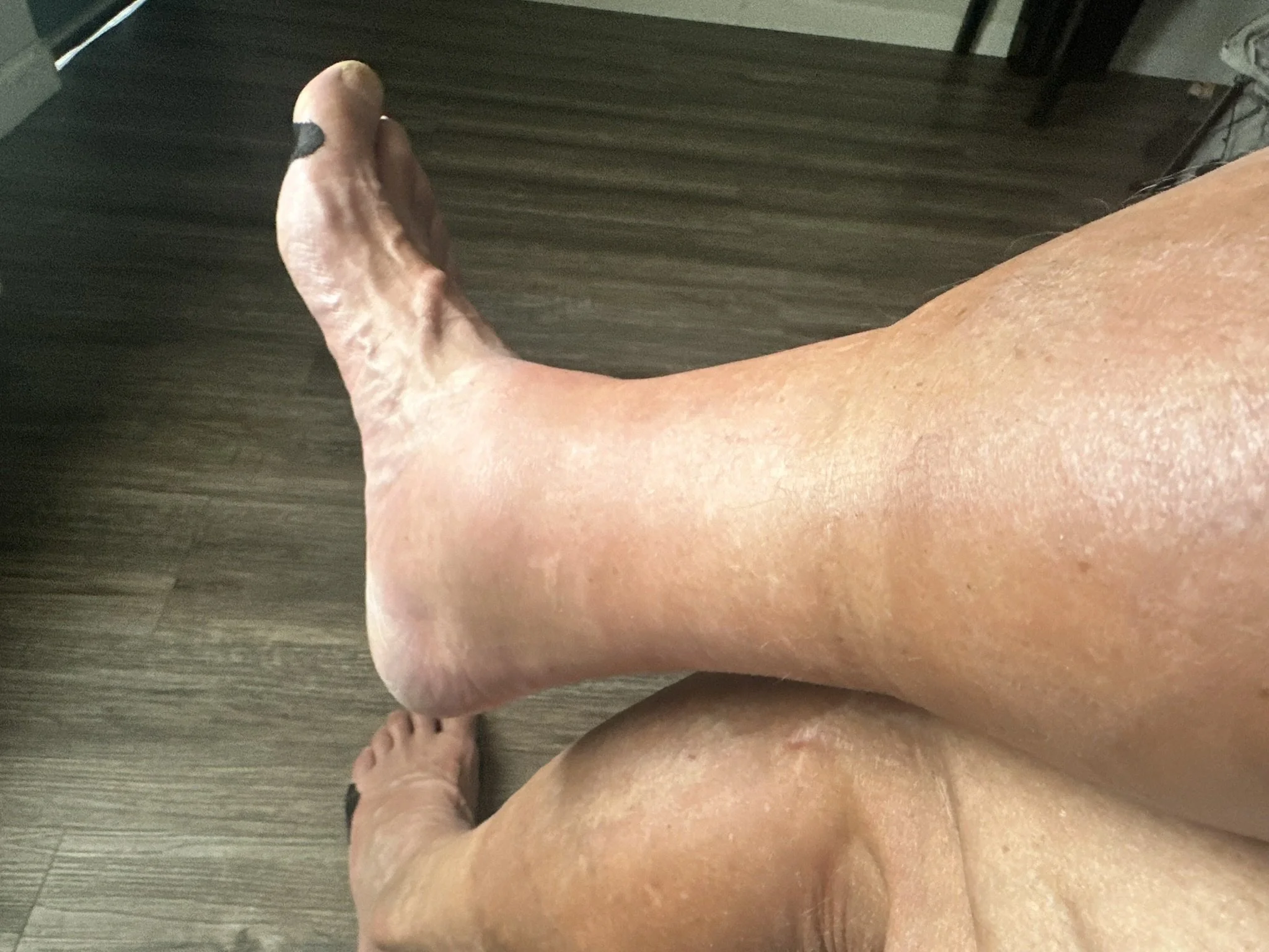
2) One very swollen ankle and lower leg thanks to the shin splints. The swelling and soreness was almost gone a few days after the race.
3) One blister on my right foot that developed after the shin splints on the 50 mile day. I taped my foot as always but didn’t wear the “Injinji” sock liner under my pair of “Smart Wool” socks that day. I am sure the blister was caused by my altered gait trying not to aggravate the shin splints.
4) Very modified toenails.
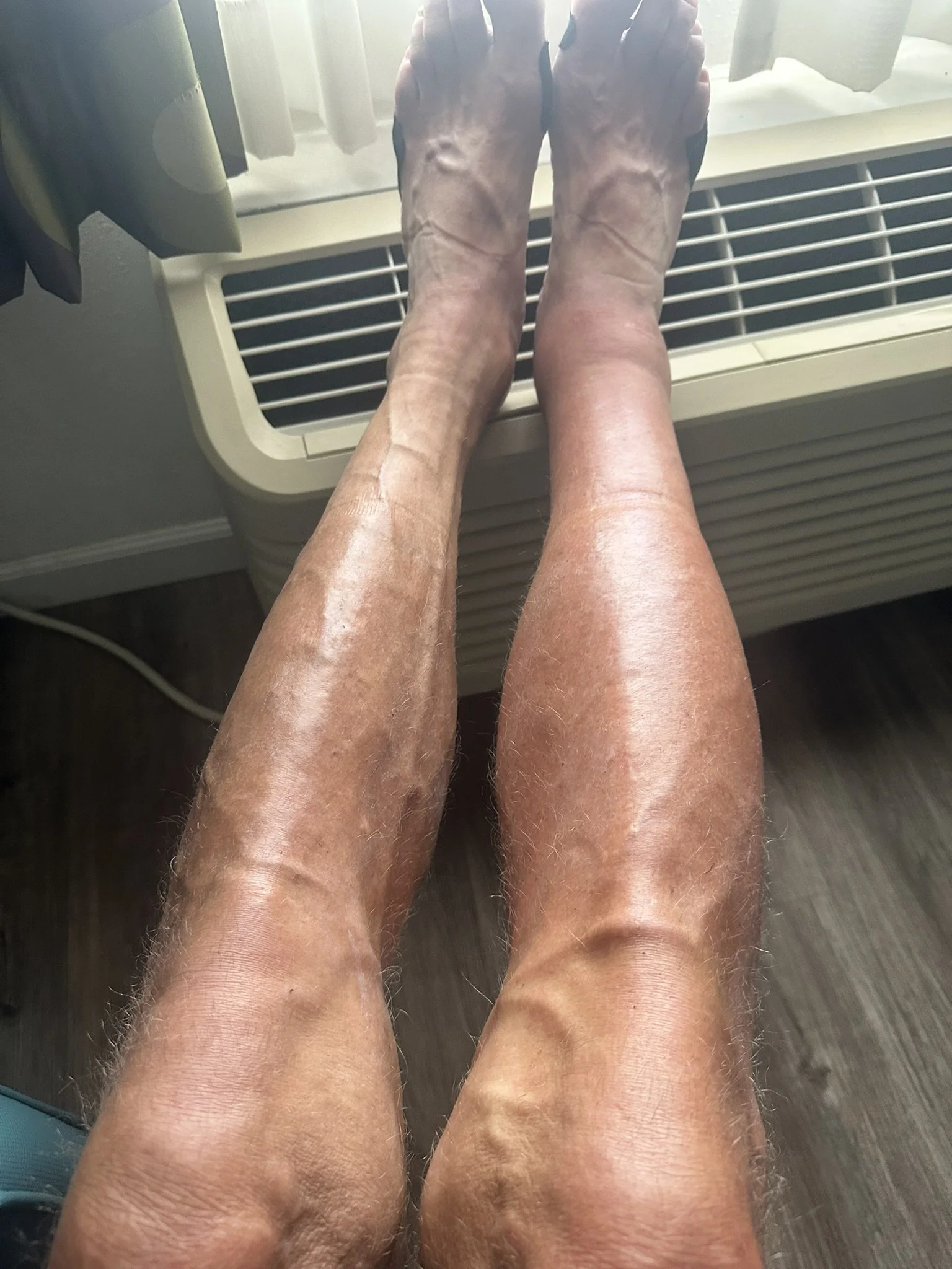
5) A really strange tan.
6) One lost pair of “Injinji” sock liners, lost somewhere around mile 200.
7) One lost headlamp probably left in the motel in Columbia.
The Course